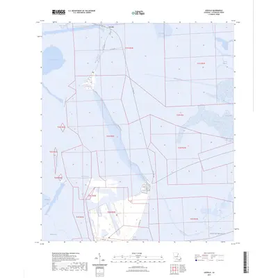
2024 Map of Leeville
USGS Topo · Published 2024About this map
Bayou Lafourche serves as the central artery for this coastal landscape, where the settlement of Leeville occupies a critical junction in the wetlands of Lafourche Parish. This 2024 survey captures the intricate plumbing of the marsh, showing how human engineering has shaped the delta through deep-water cuts like the Southwestern Louisiana Canal, the Havoline Canal, and Greys Canal. The transition from old infrastructure to modern transport is evident in the parallel paths of Old State Rte 1 and the LA 1 Toll Rd.
Find a feature on this map
30 named features on this map. Tap any name to fly to it.
Don’t see what you’re looking for? This feature index may not catch every label — zoom into the map to look around manually.
Map Details
Editions of this 2024 Leeville Map
This is the sole edition of this map. No revisions or reprints were ever made.
Other maps of this area

1892 · Cheniere Caminada
USGS Topo · 1:62,500

1892 · Creole
USGS Topo · 1:62,500

1894 · Timbalier
USGS Topo · 1:62,500

1894 · Lake Felicity
USGS Topo · 1:62,500

1935 · Bay Courant
USGS Topo · 1:31,680

1935 · Pelican Pass
USGS Topo · 1:31,680

1935 · Mink Bayou
USGS Topo · 1:31,680

1935 · Calumet Island
USGS Topo · 1:31,680

1935 · Leeville
USGS Topo · 1:31,680

1939 · Lake Felicity
USGS Topo · 1:62,500