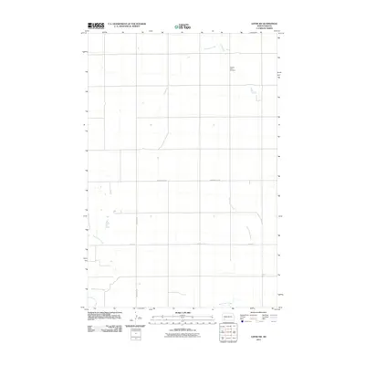
2011 Map of Lefor SW
USGS Topo · Published 2011About this map
Pleasant View Cemetery serves as a quiet historical anchor in this rural portion of Hettinger County, marking the long-standing community presence in an area defined by agricultural section lines and seasonal waterways. The landscape is carved by the meandering courses of Thirtymile Creek in the north and Hay Slough Creek in the southeast, which shape the drainage patterns across the high plains. A clear grid of transit is established by Havelock Rd and Bomber Club Rd, reflecting the methodical land division of the North Dakota prairie. This 2011 survey, produced by the U.S. Geological Survey, captures the sparse but organized settlement pattern of the region before modern digital transitions altered the cartographic style.
Find a feature on this map
7 named features on this map. Tap any name to fly to it.
Don’t see what you’re looking for? This feature index may not catch every label — zoom into the map to look around manually.
Map Details
Editions of this 2011 Lefor SW Map
This is the sole edition of this map. No revisions or reprints were ever made.
Other maps of this area

1953 · Dickinson
USGS Topo · 1:250,000

1957 · Dickinson
USGS Topo · 1:250,000

1966 · Regent
USGS Topo · 1:24,000

1973 · Lefor NW
USGS Topo · 1:24,000

1973 · Lefor
USGS Topo · 1:24,000

1973 · Jung Lake
USGS Topo · 1:24,000

1973 · New England
USGS Topo · 1:24,000

1973 · Lefor SW
USGS Topo · 1:24,000

1973 · Stony Butte
USGS Topo · 1:24,000

1973 · Havelock
USGS Topo · 1:24,000