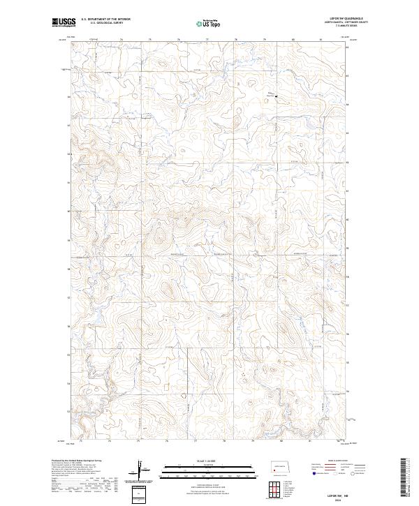
2024 Map of Lefor SW
USGS Topo · Published 2024About this map
Pleasant View Cem serves as a quiet local landmark in this prairie landscape of eastern Hettinger County. The terrain is defined by a series of seasonal drainages, including the winding course of Thirtymile Creek in the north and the lower reaches of Hay Slough Creek and Dead Horse Creek to the south. This 2024 survey reflects the modern rural section-line road network, where names like Bomber Club Rd and Havelock Rd intersect the traditional grid of numbered avenues and streets. The map highlights the enduring agricultural layout of the region, preserving the spatial relationship between these named waterways and the scattered homesteads that define this portion of North Dakota.
Find a feature on this map
23 named features on this map. Tap any name to fly to it.
Don’t see what you’re looking for? This feature index may not catch every label — zoom into the map to look around manually.
Map Details
Editions of this 2024 Lefor SW Map
This is the sole edition of this map. No revisions or reprints were ever made.
Other maps of this area

1953 · Dickinson
USGS Topo · 1:250,000

1957 · Dickinson
USGS Topo · 1:250,000

1966 · Regent
USGS Topo · 1:24,000

1973 · Lefor NW
USGS Topo · 1:24,000

1973 · Lefor
USGS Topo · 1:24,000

1973 · Jung Lake
USGS Topo · 1:24,000

1973 · New England
USGS Topo · 1:24,000

1973 · Lefor SW
USGS Topo · 1:24,000

1973 · Stony Butte
USGS Topo · 1:24,000

1973 · Havelock
USGS Topo · 1:24,000