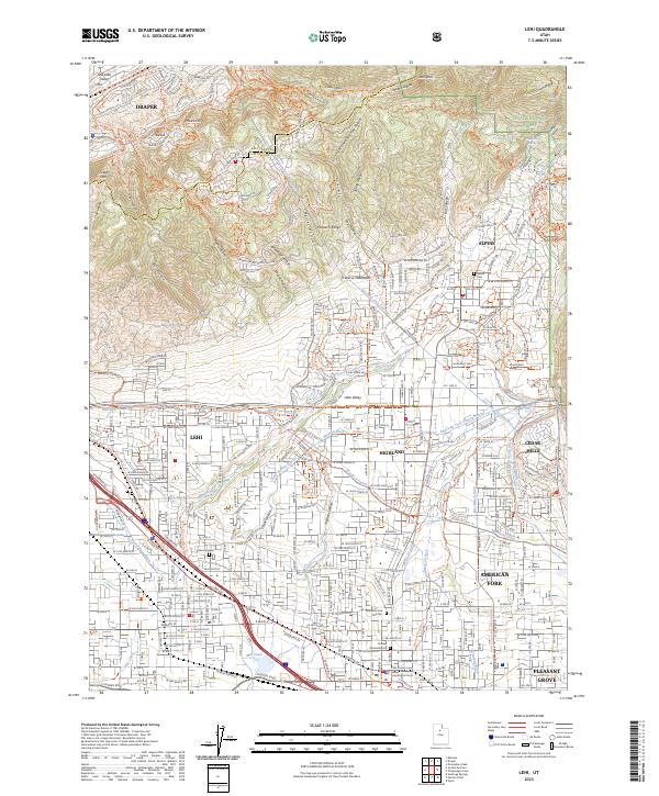
2023 Map of Lehi
USGS Topo · Published 2023About this map
Traverse Mountain dominates the northern horizon where Salt Lake and Utah counties meet, overlooking a rapidly developing corridor. The map documents the intricate water management system essential to the Utah Valley, featuring a dense network of irrigation channels like the Murdock Canal, Harmon Ditch, and Bull River Ditch. These waterways once supported the agricultural roots of Lehi, Highland, and American Fork before modern suburban growth transformed the landscape.
Find a feature on this map
45 named features on this map. Tap any name to fly to it.
Don’t see what you’re looking for? This feature index may not catch every label — zoom into the map to look around manually.
Map Details
Editions of this 2023 Lehi Map
This is the sole edition of this map. No revisions or reprints were ever made.
Other maps of this area

1885 · Salt Lake
USGS Topo · 1:250,000

1925 · Ft. Douglas
USGS Topo · 1:125,000

1928 · Ft. Douglas
USGS Topo · 1:125,000

1948 · Timpanogos Cave
USGS Topo · 1:24,000

1948 · Orem
USGS Topo · 1:24,000

1948 · Orem
USGS Topo · 1:62,500

1950 · Orem
USGS Topo · 1:24,000

1950 · Timpanogos Cave
USGS Topo · 1:24,000

1950 · Pelican Point
USGS Topo · 1:24,000
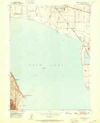
1951 · Pelican Point
USGS Topo · 1:24,000