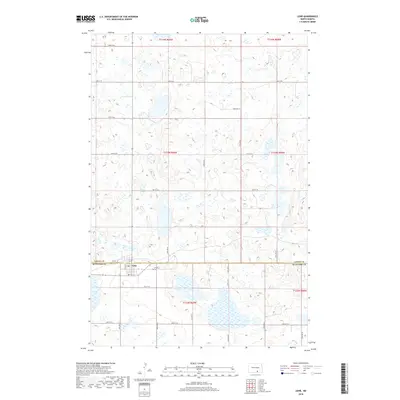
2018 Map of Lehr
USGS Topo · Published 2018About this map
Lehr straddles the county line in this high-plains landscape, situated where the border of Logan Co and McIntosh Co meets the section lines of several townships. This agricultural and prairie region is defined by a dense network of glacial wetlands and depressions, including the prominent Mud Lake to the southwest of the settlement. The town itself is small but established, serving as a local hub with a central Po and the Lehr City Cem located just east of the main residential grid. A geometric grid of rural routes, such as 78th St SE and 52nd Ave SE, connects the scattered farms and water bodies across the townships of t133n r69w and t132n r69w, illustrating the organized land management of the North Dakota plains.
Find a feature on this map
27 named features on this map. Tap any name to fly to it.
Don’t see what you’re looking for? This feature index may not catch every label — zoom into the map to look around manually.
Map Details
Editions of this 2018 Lehr Map
This is the sole edition of this map. No revisions or reprints were ever made.
Other maps of this area

1953 · Jamestown
USGS Topo · 1:250,000

1956 · Jamestown
USGS Topo · 1:250,000

1982 · Coldwater Lake NW
USGS Topo · 1:24,000

1982 · Fredonia NW
USGS Topo · 1:24,000

1982 · Guyson
USGS Topo · 1:24,000

1982 · Danzig
USGS Topo · 1:24,000

1982 · Lehr NW
USGS Topo · 1:24,000

1982 · Lehr NE
USGS Topo · 1:24,000

1982 · Ashley NE
USGS Topo · 1:24,000

1982 · Lehr SW
USGS Topo · 1:24,000