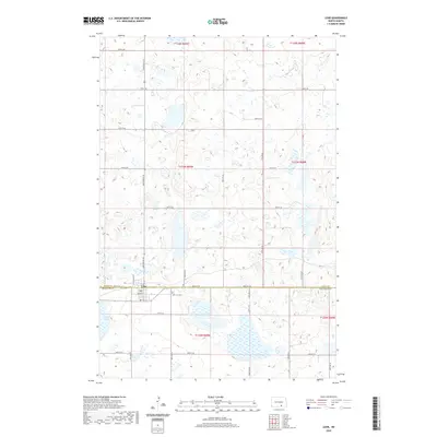
2020 Map of Lehr
USGS Topo · Published 2020About this map
Lehr sits at the intersection of the Logan Co and McIntosh Co border, serving as a hub for the surrounding agricultural prairie. The settlement pattern here is defined by a rigid section-line grid of local roads, such as Ziegenhagel St and Mcintosh St N, which cut through a landscape dotted with numerous glacial potholes and wetlands. This 2020 survey illustrates the proximity of the town to its rural resources, with the Lehr City Cem positioned just outside the main residential blocks. To the south, the terrain becomes increasingly marshy, dominated by the expansive Mud Lake. This map captures the persistent character of a North Dakota farming community where the township and range lines continue to dictate the movement and layout of the land.
Find a feature on this map
25 named features on this map. Tap any name to fly to it.
Don’t see what you’re looking for? This feature index may not catch every label — zoom into the map to look around manually.
Map Details
Editions of this 2020 Lehr Map
This is the sole edition of this map. No revisions or reprints were ever made.
Other maps of this area

1953 · Jamestown
USGS Topo · 1:250,000

1956 · Jamestown
USGS Topo · 1:250,000

1982 · Coldwater Lake NW
USGS Topo · 1:24,000

1982 · Fredonia NW
USGS Topo · 1:24,000

1982 · Guyson
USGS Topo · 1:24,000

1982 · Danzig
USGS Topo · 1:24,000

1982 · Lehr NW
USGS Topo · 1:24,000

1982 · Lehr NE
USGS Topo · 1:24,000

1982 · Ashley NE
USGS Topo · 1:24,000

1982 · Lehr SW
USGS Topo · 1:24,000