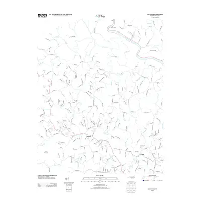
2013 Map of Leicester
USGS Topo · Published 2013About this map
Leicester serves as a central hub in this western North Carolina landscape, where numerous mountain branches and creeks feed into larger waterways. The French Broad River carves through the northeast, forming the prominent Bailey Bend. This 2013 survey illustrates a transition from rural cove settlements to a more complex network of residential roads and mountain drives. Local topography is defined by significant elevations like Grassy Knob and Hanlon Mountain, which influence the winding paths of the road system. Small communities such as Juno, Patton Cove, and Worley Cove are tucked into the valleys between these ridges. The map meticulously records the hydrography of the region, from the Sandymush Cr in the north to the southern reaches of Newfound Cr and Gouches Br, showing how the terrain dictates the settlement patterns of this Buncombe County area.
Find a feature on this map
247 named features on this map. Tap any name to fly to it.
Don’t see what you’re looking for? This feature index may not catch every label — zoom into the map to look around manually.
Map Details
Editions of this 2013 Leicester Map
This is the sole edition of this map. No revisions or reprints were ever made.
Other maps of this area

1894 · Asheville
USGS Topo · 1:125,000

1901 · Asheville
USGS Topo · 1:125,000

1935 · Canton
USGS Topo · 1:24,000

1935 · Spring Creek
USGS Topo · 1:24,000

1936 · Marshall
USGS Topo · 1:24,000

1936 · Sandymush
USGS Topo · 1:24,000

1936 · Enka
USGS Topo · 1:24,000

1936 · Weaverville
USGS Topo · 1:24,000

1936 · Mars Hill
USGS Topo · 1:24,000
1936 · Leicester
USGS Topo · 1:24,000