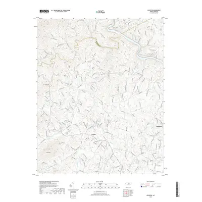
2019 Map of Leicester
USGS Topo · Published 2019About this map
The French Broad River carves through the northeast corner of this map, creating a distinct geographical boundary near Bailey Bend. The landscape is defined by the high ridges of Hanlon Mtn and Grassy Knob, which separate the various creek valleys. In these narrow lowlands, rural settlements such as Leicester and Juno serve as focal points for local commerce and community life. The drainage network is dense, with Newfound Cr, Sandymush Creek, and Turkey Creek flowing through the valley floors, dictating the placement of older roads and farmsteads. Local history is anchored by several family-named landmarks and burial sites, including Freeman Cem, Bailey Cem, and Sluder Cem, while developments like Pineyview Ests and Green Valley show the more modern expansion of residential areas north of Woodfin.
Find a feature on this map
199 named features on this map. Tap any name to fly to it.
Don’t see what you’re looking for? This feature index may not catch every label — zoom into the map to look around manually.
Map Details
Editions of this 2019 Leicester Map
This is the sole edition of this map. No revisions or reprints were ever made.
Other maps of this area

1894 · Asheville
USGS Topo · 1:125,000

1901 · Asheville
USGS Topo · 1:125,000

1935 · Canton
USGS Topo · 1:24,000

1935 · Spring Creek
USGS Topo · 1:24,000

1936 · Marshall
USGS Topo · 1:24,000

1936 · Sandymush
USGS Topo · 1:24,000

1936 · Enka
USGS Topo · 1:24,000

1936 · Weaverville
USGS Topo · 1:24,000

1936 · Mars Hill
USGS Topo · 1:24,000
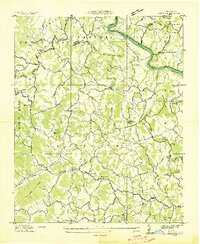
1936 · Leicester
USGS Topo · 1:24,000