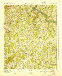
1943 Map of Leicester
USGS Topo · Published 1943About this map
The French Broad River snakes through the northern hills of Buncombe and Madison Counties, following the Bailey Bend past the Southern railroad line. This 1943 survey captures a landscape defined by its creek valleys and rural congregations. Small communities like Leicester and Worley serve as anchors for a network of family-named landmarks and local institutions.
Find a feature on this map
50 named features on this map. Tap any name to fly to it.
Don’t see what you’re looking for? This feature index may not catch every label — zoom into the map to look around manually.
Map Details
Editions of this 1943 Leicester Map
This is the sole edition of this map. No revisions or reprints were ever made.
Other maps of this area

1894 · Asheville
USGS Topo · 1:125,000

1901 · Asheville
USGS Topo · 1:125,000

1935 · Canton
USGS Topo · 1:24,000

1935 · Spring Creek
USGS Topo · 1:24,000

1936 · Marshall
USGS Topo · 1:24,000

1936 · Sandymush
USGS Topo · 1:24,000

1936 · Enka
USGS Topo · 1:24,000

1936 · Weaverville
USGS Topo · 1:24,000

1936 · Mars Hill
USGS Topo · 1:24,000
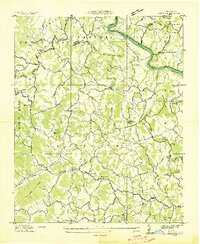
1936 · Leicester
USGS Topo · 1:24,000