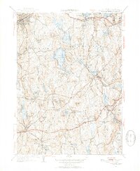
1953 Map of Leicester
USGS Topo · Published 1954About this map
The Boston and Albany Railroad corridor defines the industrial and transit character of this central Massachusetts landscape, connecting the manufacturing villages of Spencer and Leicester. This mid-century study reveals a region transitioning from its early textile mill roots to a more modern suburban and recreational layout. Significant local landmarks such as the Clara Barton Home and the Masonic Home appear alongside expansive water bodies like Stiles Reservoir and Cedar Meadow Pond. The map documents numerous family-named hills, including Ballard Hill and Denny Hill, which overlook small settlements like Cherry Valley and Rochdale. Large tracts of the Spencer State Forest preserve the wooded character of the western edge, while the nascent path of the Mass Turnpike suggests the coming shift in regional transportation and land use.
Find a feature on this map
96 named features on this map. Tap any name to fly to it.
Don’t see what you’re looking for? This feature index may not catch every label — zoom into the map to look around manually.
Map Details
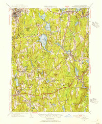
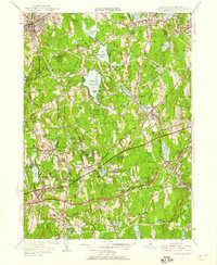
Editions of this 1953 Leicester Map
3 editions found
Other maps of this area

1885 · Worcester
USGS Topo · 1:62,500

1886 · Worcester
USGS Topo · 1:62,500

1887 · Brookfield
USGS Topo · 1:62,500

1887 · Barre
USGS Topo · 1:62,500

1889 · Webster
USGS Topo · 1:62,500

1889 · Barre
USGS Topo · 1:62,500

1890 · Brookfield
USGS Topo · 1:62,500

1892 · Webster
USGS Topo · 1:62,500

1892 · Worcester
USGS Topo · 1:62,500

1893 · Brookfield
USGS Topo · 1:62,500