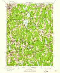
1953 Map of Leicester
USGS Topo · Published 1958About this map
The industrial and rural character of Worcester County is captured during the mid-century expansion of the American highway system. The newly added Massachusetts Turnpike cuts a bold path through Charlton and Oxford, signaling a shift in transportation patterns away from the older Boston and Albany RR line that serves Spencer and Cherry Valley. This 1953 revision shows a landscape dotted with textile mill history, evident in the numerous mill ponds like Rochdale Ponds and Burncoat Pond that once powered local industry.
Find a feature on this map
79 named features on this map. Tap any name to fly to it.
Don’t see what you’re looking for? This feature index may not catch every label — zoom into the map to look around manually.
Map Details
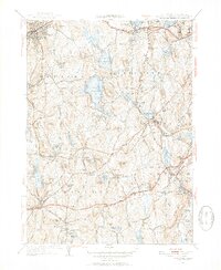
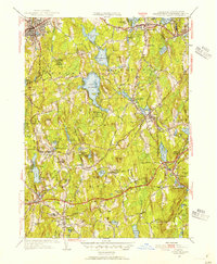
Editions of this 1953 Leicester Map
3 editions found
Other maps of this area

1885 · Worcester
USGS Topo · 1:62,500

1886 · Worcester
USGS Topo · 1:62,500

1887 · Brookfield
USGS Topo · 1:62,500

1887 · Barre
USGS Topo · 1:62,500

1889 · Webster
USGS Topo · 1:62,500

1889 · Barre
USGS Topo · 1:62,500

1890 · Brookfield
USGS Topo · 1:62,500

1892 · Webster
USGS Topo · 1:62,500

1892 · Worcester
USGS Topo · 1:62,500

1893 · Brookfield
USGS Topo · 1:62,500