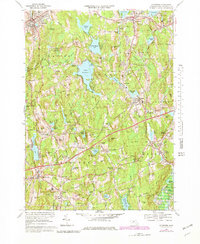
1969 Map of Leicester
USGS Topo · Published 1979About this map
The hills and valleys of central Massachusetts come into focus in this late-century revision, revealing the dense network of ponds and small settlements defining Leicester and Spencer. Numerous cemeteries, including St Josephs Cem, Pine Grove Cem, and Bay Path Cem, provide key touchpoints for genealogists researching local family lines. The landscape is characterized by its hydrological history, where water bodies like Stiles Reservoir and Cedar Meadow Pond sit alongside the winding French River, once the engines of local industry. Industrial and transportation signatures are evident in the Conrail rail lines and the presence of localized settlements such as Rochdale, Chariton City, and Cherry Valley. The map also highlights mid-century social spaces, from the YWCA Camp on the shores of Stiles Reservoir to various recreational sites like Camp Joslin and Camp Barton, illustrating the region's shift toward summer tourism and residential growth.
Find a feature on this map
149 named features on this map. Tap any name to fly to it.
Don’t see what you’re looking for? This feature index may not catch every label — zoom into the map to look around manually.
Map Details
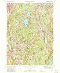
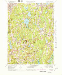
Editions of this 1969 Leicester Map
3 editions found
Other maps of this area

1885 · Worcester
USGS Topo · 1:62,500

1886 · Worcester
USGS Topo · 1:62,500

1887 · Brookfield
USGS Topo · 1:62,500

1887 · Barre
USGS Topo · 1:62,500

1889 · Webster
USGS Topo · 1:62,500

1889 · Barre
USGS Topo · 1:62,500

1890 · Brookfield
USGS Topo · 1:62,500

1892 · Webster
USGS Topo · 1:62,500

1892 · Worcester
USGS Topo · 1:62,500

1893 · Brookfield
USGS Topo · 1:62,500