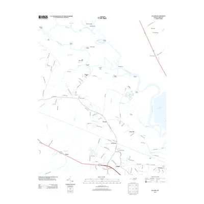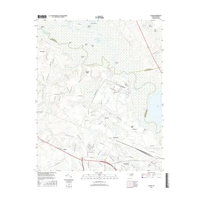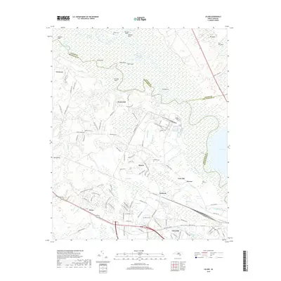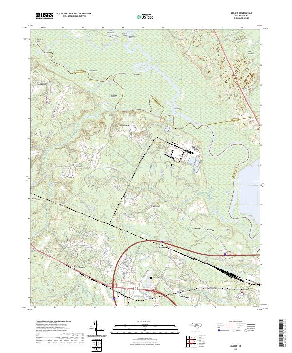
2022 Map of Leland
USGS Topo · Published 2022About this map
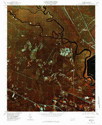
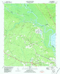
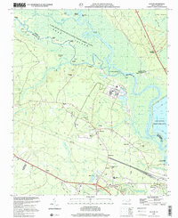
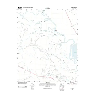
The confluence of the Cape Fear River and the Black River anchors this coastal North Carolina landscape, where a complex network of channels like Lyon Thorofare and Black River Cut creates a mosaic of islands and points. Settlements such as Leland, Navassa, and Phoenix are interspersed with significant family history sites, including the Rhyne Grave and Mulberry Cem. The area’s geography is defined by its relation to the water, with named features like Devils Elbow and Bulldog Cut indicating the intricate navigation required through these wetlands.
Find a feature on this map
137 named features on this map. Tap any name to fly to it.
Don’t see what you’re looking for? This feature index may not catch every label — zoom into the map to look around manually.
Map Details
Editions of this 2022 Leland Map
This is the sole edition of this map. No revisions or reprints were ever made.
Historical Maps of Leland Through Time
8 maps found