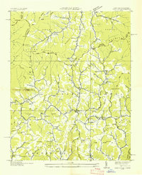
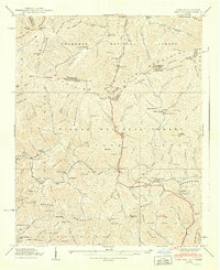
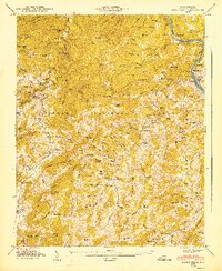
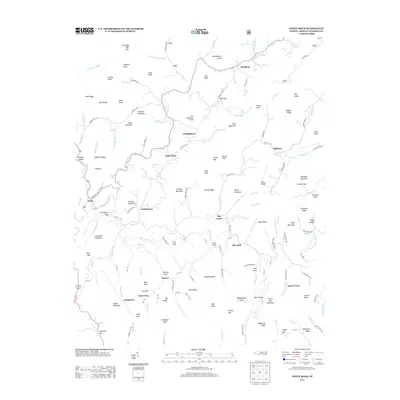
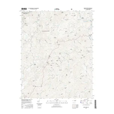
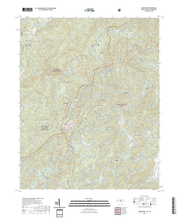
1940 Map of Lemon Gap
USGS Topo · Published 1968About this map
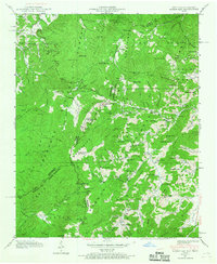
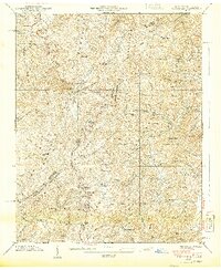
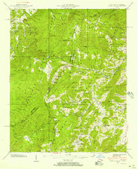
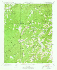
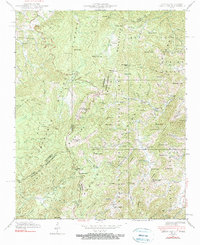
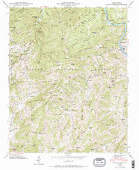
The Appalachian Trail winds along the high ridges of the Bald Mountains and Brushy Mountains in this 1940 survey of the North Carolina and Tennessee borderlands. This high-country landscape is defined by the convergence of several major national forests, including the Hot Springs National Forest, Cherokee National Forest, and Pisgah National Forest. The map reveals a dispersed settlement pattern centered on mountain gaps and creek bottoms, with small community hubs like the Joe Post Office and the settlement of Charlotte.
Find a feature on this map
94 named features on this map. Tap any name to fly to it.
Don’t see what you’re looking for? This feature index may not catch every label — zoom into the map to look around manually.
Map Details
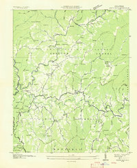
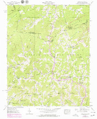
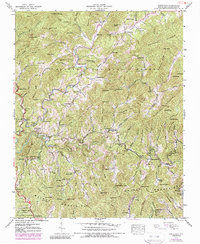
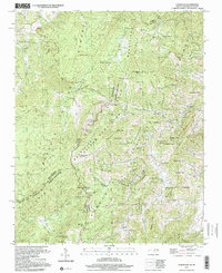
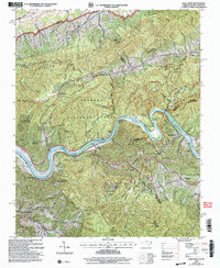
Editions of this 1940 Lemon Gap Map
5 editions found
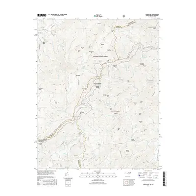
Historical Maps of Ebbs Mill Through Time
38 maps found

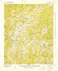
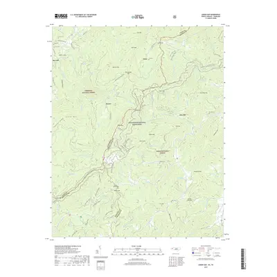
1935 Lemon Gap
Madison County, NC

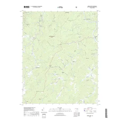
1935 Spring Creek
Madison County, NC
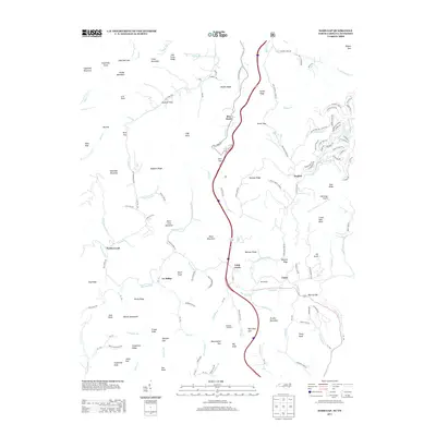
1936 Sams Gap
Madison County, NC
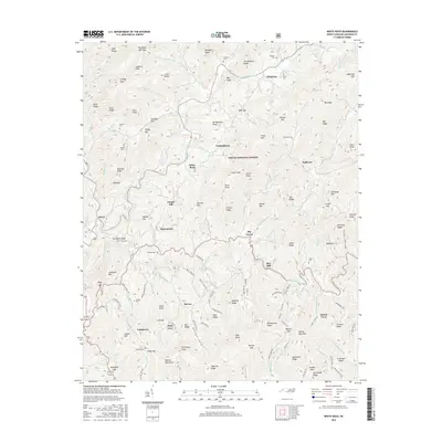
1936 White Rock
Madison County, NC
1939 Sams Gap
Madison County, NC
1939 White Rock
Madison County, NC
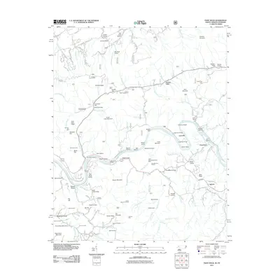
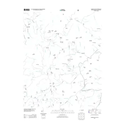
1940 Lemon Gap
Madison County, NC
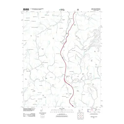
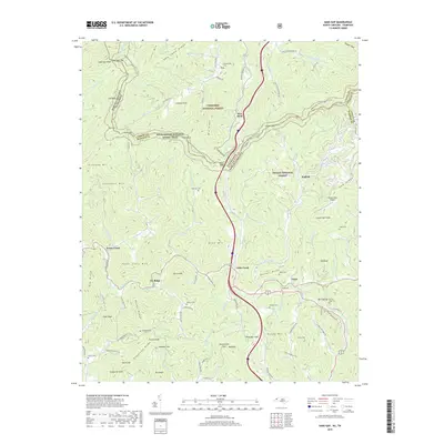
1940 Sams Gap
Madison County, NC
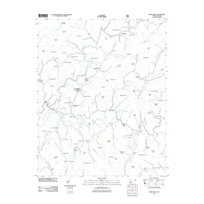
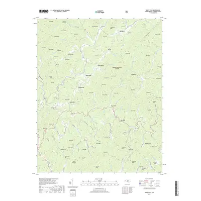
1940 White Rock
Madison County, NC
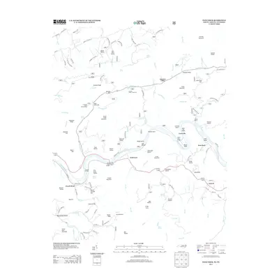
1946 Spring Creek
Madison County, NC
1947 Spring Creek
Madison County, NC
1997 Lemon Gap
Madison County, NC
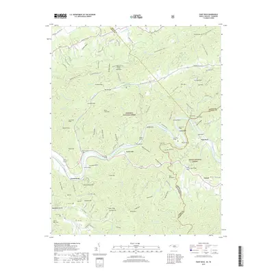
2003 Paint Rock
Madison County, NC
2011 Lemon Gap
Madison County, NC
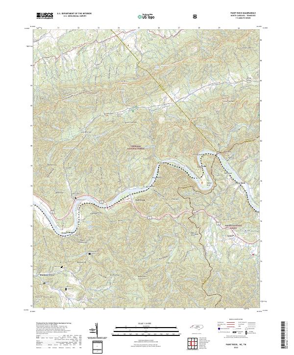
2011 Paint Rock
Madison County, NC
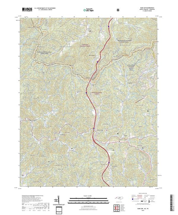
2011 Sams Gap
Madison County, NC
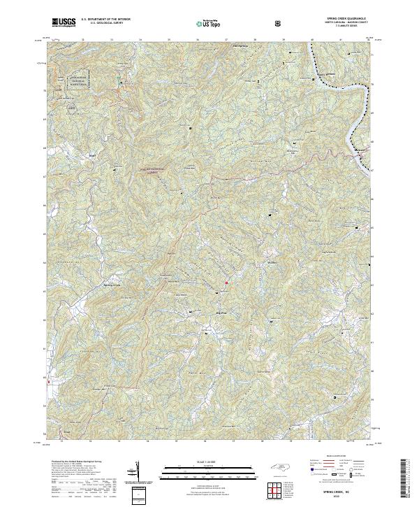
2011 Spring Creek
Madison County, NC
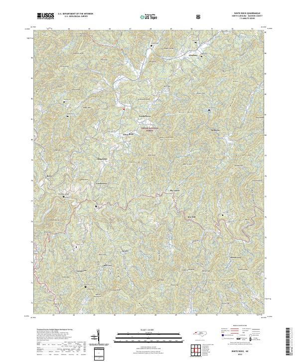
2011 White Rock
Madison County, NC
2013 Lemon Gap
Madison County, NC
2013 Paint Rock
Madison County, NC
2013 Sams Gap
Madison County, NC
2013 Spring Creek
Madison County, NC
2013 White Rock
Madison County, NC
2016 Lemon Gap
Madison County, NC
2016 Paint Rock
Madison County, NC
2016 Sams Gap
Madison County, NC
2016 Spring Creek
Madison County, NC
2016 White Rock
Madison County, NC
2019 Lemon Gap
Madison County, NC
2019 Paint Rock
Madison County, NC
2019 Sams Gap
Madison County, NC
2019 Spring Creek
Madison County, NC
2019 White Rock
Madison County, NC
2022 Lemon Gap
Madison County, NC
2022 Paint Rock
Madison County, NC
2022 Sams Gap
Madison County, NC
2022 Spring Creek
Madison County, NC
2022 White Rock
Madison County, NC