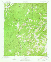
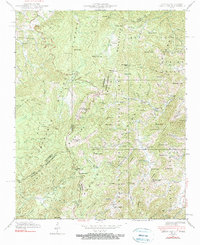
1940 Map of Lemon Gap
USGS Topo · Published 1973About this map
The Bald Mountains form a rugged natural border between Tennessee and North Carolina, where high ridges like Max Patch Mtn and Bluff Mtn overlook a landscape of deep hollows and scattered mountain settlements. In 1940, life centered around small gaps and creek forks, evidenced by isolated communities such as Joe (PO) and rural landmarks like Blue Mill and Ebbs Mill. The Appalachian Trail winds through these heights, passing numerous crossings including Lemon Gap, Brown Gap, and Garenflo Gap.
Find a feature on this map
132 named features on this map. Tap any name to fly to it.
Don’t see what you’re looking for? This feature index may not catch every label — zoom into the map to look around manually.
Map Details
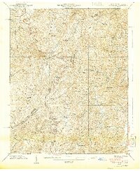
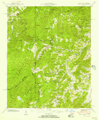
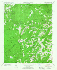
Editions of this 1940 Lemon Gap Map
5 editions found
Other maps of this area

1893 · Mt Guyot
USGS Topo · 1:125,000

1894 · Asheville
USGS Topo · 1:125,000

1901 · Asheville
USGS Topo · 1:125,000

1912 · Mt Guyot
USGS Topo · 1:125,000

1935 · Newport
USGS Topo · 1:48,000

1935 · Paint Rock
USGS Topo · 1:24,000

1935 · Neddy Mountain
USGS Topo · 1:24,000

1935 · Hot Springs
USGS Topo · 1:24,000

1935 · Spring Creek
USGS Topo · 1:24,000

1935 · Lemon Gap
USGS Topo · 1:24,000