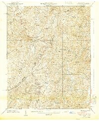
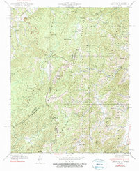
1940 Map of Lemon Gap
USGS Topo · Published 1940About this map
The Appalachian Trail follows the ridge line of the Bald Mountains along the border of Tennessee and North Carolina in this 1940 topographic study. High-altitude landmarks like Max Patch Mtn and the Lookout Tower on Round Mountain define the landscape, while the valleys are settled with small community hubs. Small post offices and rural centers like Joe (PO), Wasp, and Boomer serve the scattered mountain homesteads.
Find a feature on this map
95 named features on this map. Tap any name to fly to it.
Don’t see what you’re looking for? This feature index may not catch every label — zoom into the map to look around manually.
Map Details
Editions of this 1940 Lemon Gap Map
5 editions found
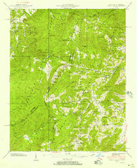
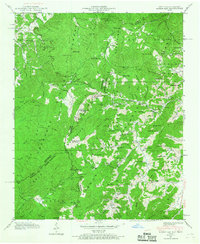
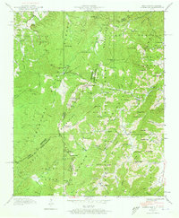
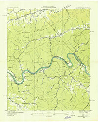
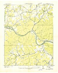
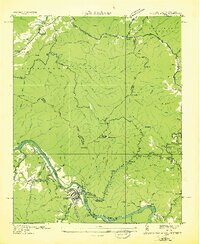
Other maps of this area

1893 · Mt Guyot
USGS Topo · 1:125,000

1894 · Asheville
USGS Topo · 1:125,000

1901 · Asheville
USGS Topo · 1:125,000

1912 · Mt Guyot
USGS Topo · 1:125,000

1935 · Newport
USGS Topo · 1:48,000
1935 · Paint Rock
USGS Topo · 1:24,000
1935 · Neddy Mountain
USGS Topo · 1:24,000
1935 · Hot Springs
USGS Topo · 1:24,000

1935 · Spring Creek
USGS Topo · 1:24,000

1935 · Lemon Gap
USGS Topo · 1:24,000