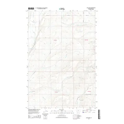
2014 Map of Lena Creek
USGS Topo · Published 2014About this map
Shields River flows through the western edge of this Park County landscape, which is defined by an intricate network of mountain drainages and early irrigation works. Ranching and water rights shape the terrain, evident in the presence of the Horse Camp Ditch and Myers Ditch that draw from the river to support local agriculture. The map documents the headwaters and forks of major streams, including the southern reaches of Lena Creek and the complex branching of Daisy Dean Cr. Settlement is sparse, with access provided by a series of graded routes such as Shields River Rd and Highland Ranch Rd. These roads skirt the base of rising elevations where the N Fork Horse Cr and Middle Fork Horse Cr emerge from the high country.
Find a feature on this map
33 named features on this map. Tap any name to fly to it.
Don’t see what you’re looking for? This feature index may not catch every label — zoom into the map to look around manually.
Map Details
Editions of this 2014 Lena Creek Map
This is the sole edition of this map. No revisions or reprints were ever made.
Other maps of this area

1886 · Little Belt Mts.
USGS Topo · 1:250,000

1891 · Livingston
USGS Topo · 1:250,000

1893 · Livingston
USGS Topo · 1:250,000

1894 · Little Belt Mts.
USGS Topo · 1:250,000

1897 · Little Belt Mts.
USGS Topo · 1:250,000

1898 · Little Belt Mts.
USGS Topo · 1:250,000

1902 · Little Belt Mts.
USGS Topo · 1:250,000

1947 · Bozeman
USGS Topo · 1:250,000

1948 · Bozeman
USGS Topo · 1:250,000

1948 · White Sulphur Springs
USGS Topo · 1:250,000