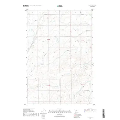
2020 Map of Lena Creek
USGS Topo · Published 2020About this map
The Shields River valley defines the western edge of this 2020 Park County landscape, where the high mountain drainage system of the Crazy Mountains begins its descent. The map illustrates a network of ranch access roads and named lanes that trace the intricate hydrology of the region, including Coal Camp Rd and Highland Ranch Rd. These routes provide modern context to traditional Montana grazing lands, connecting family-named landmarks like Waltons Ln, Pepper Ln, and Mather Ln.
Find a feature on this map
38 named features on this map. Tap any name to fly to it.
Don’t see what you’re looking for? This feature index may not catch every label — zoom into the map to look around manually.
Map Details
Editions of this 2020 Lena Creek Map
This is the sole edition of this map. No revisions or reprints were ever made.
Other maps of this area

1886 · Little Belt Mts.
USGS Topo · 1:250,000

1891 · Livingston
USGS Topo · 1:250,000

1893 · Livingston
USGS Topo · 1:250,000

1894 · Little Belt Mts.
USGS Topo · 1:250,000

1897 · Little Belt Mts.
USGS Topo · 1:250,000

1898 · Little Belt Mts.
USGS Topo · 1:250,000

1902 · Little Belt Mts.
USGS Topo · 1:250,000

1947 · Bozeman
USGS Topo · 1:250,000

1948 · Bozeman
USGS Topo · 1:250,000

1948 · White Sulphur Springs
USGS Topo · 1:250,000