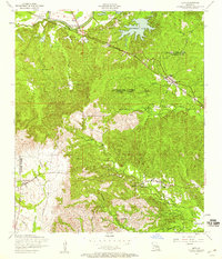
1954 Map of Lena
USGS Topo · Published 1959About this map
Cane River flows across the northern reaches of this mid-century landscape, a region defined by the complex border between Natchitoches and Rapides Parishes. The Texas and Pacific railroad serves as the primary corridor for commerce, connecting the small communities of Chopin, Galbraith, and Lena. The local economy is tied closely to the land and its waterways, with numerous small lakes such as Bourdeux Lake, Nash Lake, and Oil Well Lake scattered throughout the drainage basins of Bayou Castor and Carnahan Creek.
Find a feature on this map
40 named features on this map. Tap any name to fly to it.
Don’t see what you’re looking for? This feature index may not catch every label — zoom into the map to look around manually.
Map Details
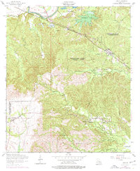
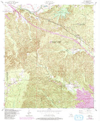
Editions of this 1954 Lena Map
3 editions found
Other maps of this area

1932 · Boyce SW
USGS Topo · 1:31,680

1932 · Colfax SW
USGS Topo · 1:31,680

1936 · Colfax
USGS Topo · 1:62,500

1937 · Chopin NE
USGS Topo · 1:31,680

1937 · Chopin SW
USGS Topo · 1:31,680

1937 · Chopin NW
USGS Topo · 1:31,680

1937 · Aloha
USGS Topo · 1:31,680

1937 · Montgomery
USGS Topo · 1:62,500

1937 · Chopin SE
USGS Topo · 1:31,680

1937 · Cloutierville
USGS Topo · 1:31,680