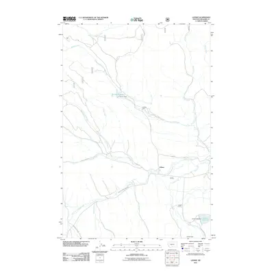
2011 Map of Lennep
USGS Topo · Published 2011About this map
Lennep serves as the central settlement of this Meagher County landscape, situated near the confluence of several mountain-fed drainages. The South Fork Musselshell River winds through the southern portion of the quadrangle, drawing together water from Deer Creek, Comb Creek, and Sawmill Creek. This ranching country is defined by several notable agricultural and water management sites, including the Bonanza Ranch near the Bonanza Reservoir and the Voldseth Ranch which sits adjacent to its own Voldseth Reservoir. Genealogists and local historians will find the Lennep Cemetery south of the main townsite, providing a primary record of the families that settled this river valley. The map also delineates a network of secondary roads such as Castle Town Rd and Bozeman Fork Rd, which historically connected these ranching hubs to larger trade routes through the foothills.
Find a feature on this map
28 named features on this map. Tap any name to fly to it.
Don’t see what you’re looking for? This feature index may not catch every label — zoom into the map to look around manually.
Map Details
Editions of this 2011 Lennep Map
This is the sole edition of this map. No revisions or reprints were ever made.
Other maps of this area
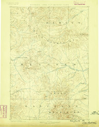
1886 · Little Belt Mts.
USGS Topo · 1:250,000
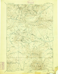
1894 · Little Belt Mts.
USGS Topo · 1:250,000
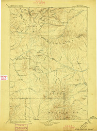
1897 · Little Belt Mts.
USGS Topo · 1:250,000
1898 · Little Belt Mts.
USGS Topo · 1:250,000
1902 · Little Belt Mts.
USGS Topo · 1:250,000
1948 · White Sulphur Springs
USGS Topo · 1:250,000
1951 · Hamen
USGS Topo · 1:24,000
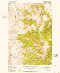
1951 · Rimrock Divide
USGS Topo · 1:24,000
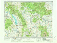
1958 · White Sulphur Springs
USGS Topo · 1:250,000
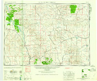
1961 · White Sulphur Springs
USGS Topo · 1:250,000