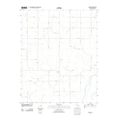
2012 Map of Lenora
USGS Topo · Published 2012About this map
Lenora sits in a high-plains landscape defined by the drainage networks of several watercourses and a strict grid of section roads. The rural settlement serves as a central point in this Dewey County quadrangle, situated north of the Canadian River, which cuts through the southeastern corner of the map. Local history and genealogy interest is anchored by the Riley Cem, located near the northern edge of the sheet. The terrain is characterized by the winding paths of Camp Cr and Deep Cr, which break up the geometric regularity of the county's road system, including routes like e0630 RD and n2200 RD. This map documents the persistent agricultural and ranching layout of western Oklahoma into the early twenty-first century.
Find a feature on this map
25 named features on this map. Tap any name to fly to it.
Don’t see what you’re looking for? This feature index may not catch every label — zoom into the map to look around manually.
Map Details
Editions of this 2012 Lenora Map
This is the sole edition of this map. No revisions or reprints were ever made.
Other maps of this area

1955 · Clinton
USGS Topo · 1:250,000

1955 · Woodward
USGS Topo · 1:250,000

1957 · Clinton
USGS Topo · 1:250,000

1958 · Woodward
USGS Topo · 1:250,000

1962 · Putnam
USGS Topo · 1:62,500

1962 · Aledo
USGS Topo · 1:62,500

1969 · Mutual SW
USGS Topo · 1:24,000

1969 · Mutual
USGS Topo · 1:24,000

1969 · Lenora
USGS Topo · 1:24,000

1969 · Mutual NE
USGS Topo · 1:24,000