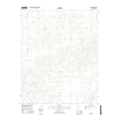
2016 Map of Lenora
USGS Topo · Published 2016About this map
Lenora sits at the heart of this Dewey County landscape, characterized by the winding course of the Canadian River in the southeast corner. The terrain is defined by a dense network of sectional roads and the drainages of Camp Cr and Deep Cr, which carve through the Oklahoma plains. Local history is anchored by the Riley Cem, a vital point of reference for genealogists tracing family roots in this rural community. The map reveals a transition from the elevated western lands down toward the sandy, braided channels of the river, reflecting the agricultural and natural geography of the region as it appeared in the mid-2010s.
Find a feature on this map
27 named features on this map. Tap any name to fly to it.
Don’t see what you’re looking for? This feature index may not catch every label — zoom into the map to look around manually.
Map Details
Editions of this 2016 Lenora Map
This is the sole edition of this map. No revisions or reprints were ever made.
Other maps of this area

1955 · Clinton
USGS Topo · 1:250,000

1955 · Woodward
USGS Topo · 1:250,000

1957 · Clinton
USGS Topo · 1:250,000

1958 · Woodward
USGS Topo · 1:250,000

1962 · Putnam
USGS Topo · 1:62,500

1962 · Aledo
USGS Topo · 1:62,500

1969 · Mutual SW
USGS Topo · 1:24,000

1969 · Mutual
USGS Topo · 1:24,000

1969 · Lenora
USGS Topo · 1:24,000

1969 · Mutual NE
USGS Topo · 1:24,000