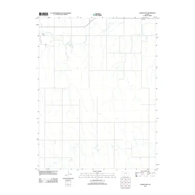
2012 Map of Lenora East
USGS Topo · Published 2012About this map
Norton County Lake sits at the heart of this Norton County landscape, where the prairie is defined by the winding paths of the N Fork Solomon River and Bow Cr. The map highlights the rural structure of the region just east of the Lenora townsite, characterized by a regular grid of section roads like Road W-3 that cross several tributary streams including Elk Cr and Lost Cr. For those researching local heritage, the inclusion of Lenora E Cem and Modell Cem provides specific points of interest for genealogical study. The drainage patterns of E Elk Cr further illustrate the watershed of the Solomon River valley during the early 21st century, showing the intersection of natural watercourses and established rural thoroughfares.
Find a feature on this map
12 named features on this map. Tap any name to fly to it.
Don’t see what you’re looking for? This feature index may not catch every label — zoom into the map to look around manually.
Map Details
Editions of this 2012 Lenora East Map
This is the sole edition of this map. No revisions or reprints were ever made.
Other maps of this area

1893 · Norton
USGS Topo · 1:125,000

1893 · Hill
USGS Topo · 1:125,000

1954 · Goodland
USGS Topo · 1:250,000

1955 · Beloit
USGS Topo · 1:250,000

1956 · Goodland
USGS Topo · 1:250,000

1957 · Goodland
USGS Topo · 1:250,000

1959 · Beloit
USGS Topo · 1:250,000

1978 · Edmond
USGS Topo · 1:24,000

1978 · Lenora East
USGS Topo · 1:24,000

1978 · Lenora West
USGS Topo · 1:24,000