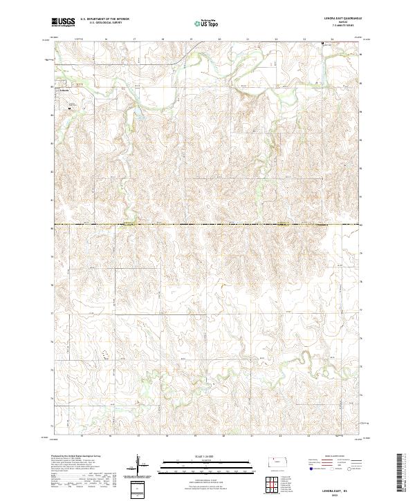
2022 Map of Lenora East
USGS Topo · Published 2022About this map
Lenora sits at the edge of this prairie landscape, where the N Fork Solomon River and its various tributaries carve through the rolling terrain of northern Kansas. The township lines of T5S R24W and T5S R23W meet at the border of Norton and Graham counties, illustrating the orderly grid of section roads and avenues that define rural life in the region. Local heritage is rooted in the small burial grounds found here, including Lenora East Cem just outside the town limits and Modell Cem to the northeast near the river's path.
Find a feature on this map
37 named features on this map. Tap any name to fly to it.
Don’t see what you’re looking for? This feature index may not catch every label — zoom into the map to look around manually.
Map Details
Editions of this 2022 Lenora East Map
This is the sole edition of this map. No revisions or reprints were ever made.
Other maps of this area

1893 · Norton
USGS Topo · 1:125,000

1893 · Hill
USGS Topo · 1:125,000

1954 · Goodland
USGS Topo · 1:250,000

1955 · Beloit
USGS Topo · 1:250,000

1956 · Goodland
USGS Topo · 1:250,000

1957 · Goodland
USGS Topo · 1:250,000

1959 · Beloit
USGS Topo · 1:250,000

1978 · Edmond
USGS Topo · 1:24,000

1978 · Lenora East
USGS Topo · 1:24,000

1978 · Lenora West
USGS Topo · 1:24,000