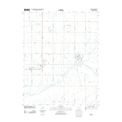
2012 Map of Leon
USGS Topo · Published 2012About this map
Leon serves as the primary hub of this eastern Butler County landscape, situated where the Little Walnut River meanders through the central plains. The town's grid, including Walnut St and S Main St, is flanked by evidence of the region’s long-standing energy economy, with the Leon Oil Field and the Garden-Reynolds-Shaffer Oil Field marking the surrounding sections. This 2012 survey illustrates a landscape deeply connected to its agricultural and petroleum roots, with the nearby crossroads of Pickrell Corner providing a secondary point of orientation for the local road network.
Find a feature on this map
57 named features on this map. Tap any name to fly to it.
Don’t see what you’re looking for? This feature index may not catch every label — zoom into the map to look around manually.
Map Details
Editions of this 2012 Leon Map
This is the sole edition of this map. No revisions or reprints were ever made.
Other maps of this area

1888 · Eldorado
USGS Topo · 1:125,000

1955 · Wichita
USGS Topo · 1:250,000

1958 · Wichita
USGS Topo · 1:250,000

1961 · Augusta
USGS Topo · 1:24,000

1961 · Pontiac
USGS Topo · 1:24,000

1961 · El Dorado
USGS Topo · 1:24,000

1961 · Gordon
USGS Topo · 1:24,000
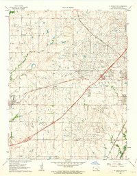
1961 · El Dorado SW
USGS Topo · 1:24,000

1963 · Leon
USGS Topo · 1:24,000

1964 · Augusta SE
USGS Topo · 1:24,000