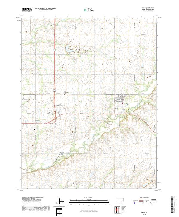
2022 Map of Leon
USGS Topo · Published 2022About this map
Leon serves as the primary hub for this portion of Butler County, situated where the Little Walnut River curves through the landscape. The town is structured around a traditional grid featuring streets like W Plumb St and S Main St. Outside the town center, the landscape is defined by the rural intersections of the Public Land Survey System, including the settlement at Pickrell Corner.
Find a feature on this map
57 named features on this map. Tap any name to fly to it.
Don’t see what you’re looking for? This feature index may not catch every label — zoom into the map to look around manually.
Map Details
Editions of this 2022 Leon Map
This is the sole edition of this map. No revisions or reprints were ever made.
Other maps of this area
1888 · Eldorado
USGS Topo · 1:125,000

1955 · Wichita
USGS Topo · 1:250,000

1958 · Wichita
USGS Topo · 1:250,000
1961 · Augusta
USGS Topo · 1:24,000
1961 · Pontiac
USGS Topo · 1:24,000
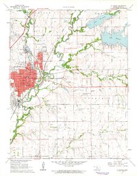
1961 · El Dorado
USGS Topo · 1:24,000
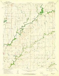
1961 · Gordon
USGS Topo · 1:24,000
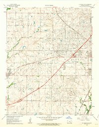
1961 · El Dorado SW
USGS Topo · 1:24,000
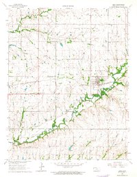
1963 · Leon
USGS Topo · 1:24,000
1964 · Augusta SE
USGS Topo · 1:24,000