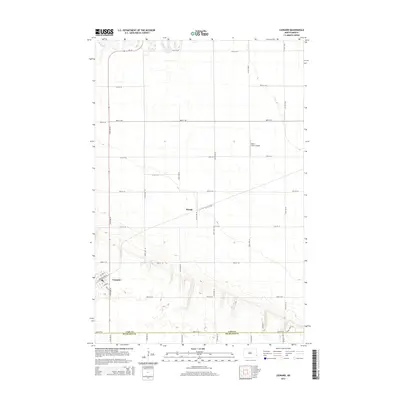
2014 Map of Leonard
USGS Topo · Published 2014About this map
Leonard and Woods anchor this agricultural landscape in southeastern North Dakota, where the section-line grid defines the movement of modern life. Located along the southern edge of the sheet, Leonard is characterized by its organized street plan, including Railroad Ave N and several numbered avenues, reflecting its historic ties to the regional transport network. To the north, the Maple River meanders across the territory, providing a natural contrast to the rigid road geometry of 46th St SE and 154th Ave SE. The presence of the Plath Farms Airport indicates the continued importance of large-scale farming and private aviation in this prairie region. At the southern boundary, the map delineates the transition between Cass County and Richland County, marked by rural routes like 54th St SE and the more modern residential naming seen in Bison View St.
Find a feature on this map
31 named features on this map. Tap any name to fly to it.
Don’t see what you’re looking for? This feature index may not catch every label — zoom into the map to look around manually.
Map Details
Editions of this 2014 Leonard Map
This is the sole edition of this map. No revisions or reprints were ever made.
Other maps of this area

1895 · Casselton
USGS Topo · 1:125,000

1897 · Casselton
USGS Topo · 1:125,000

1953 · Fargo
USGS Topo · 1:250,000

1956 · Fargo
USGS Topo · 1:250,000

1959 · Kindred
USGS Topo · 1:24,000

1959 · Leonard
USGS Topo · 1:24,000

1960 · Power
USGS Topo · 1:24,000

1960 · Barrie
USGS Topo · 1:24,000

1960 · Coburn
USGS Topo · 1:24,000

1961 · Durbin
USGS Topo · 1:24,000