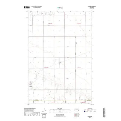
2017 Map of Leonard
USGS Topo · Published 2017About this map
Leonard stands as the primary hub in this portion of the Red River Valley, situated at the junction of local roads like Railroad Ave S and 1st Ave N. The landscape transitions from the residential grid of the town to a vast agricultural expanse defined by the Public Land Survey System, with township lines such as t137n r52w and t138n r51w organizing the terrain into precise square sections. To the north, the Maple River meanders through the northwest corner, providing the most significant natural relief in a region otherwise dominated by high-yield farming.
Find a feature on this map
25 named features on this map. Tap any name to fly to it.
Don’t see what you’re looking for? This feature index may not catch every label — zoom into the map to look around manually.
Map Details
Editions of this 2017 Leonard Map
This is the sole edition of this map. No revisions or reprints were ever made.
Other maps of this area

1895 · Casselton
USGS Topo · 1:125,000

1897 · Casselton
USGS Topo · 1:125,000

1953 · Fargo
USGS Topo · 1:250,000

1956 · Fargo
USGS Topo · 1:250,000

1959 · Kindred
USGS Topo · 1:24,000

1959 · Leonard
USGS Topo · 1:24,000

1960 · Power
USGS Topo · 1:24,000

1960 · Barrie
USGS Topo · 1:24,000

1960 · Coburn
USGS Topo · 1:24,000

1961 · Durbin
USGS Topo · 1:24,000