
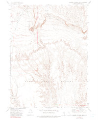
1972 Map of Leonard Cr. Slough North
USGS Topo · Published 1976About this map
The expansive Black Rock Desert dominates this Nevada landscape, where the flat alkaline plains meet the rising drainages of the northern basin. Water management and resource extraction define the local geography, visible in the system of the Leonard Creek Slough and the isolated Montero Reservoir. Sparse infrastructure, including a remote Landing Strip and the Nera Well, reflects the era's focus on ranching and geological exploration in Humboldt County. Several seasonal watercourses like Sentinel Creek and Bartlett Creek cut through the terrain, while Gravel Pits indicate localized mining activity. This study is particularly valuable for understanding the distribution of water sources and survey markers in an arid, open territory where every well and spring represented a critical landmark.
Find a feature on this map
16 named features on this map. Tap any name to fly to it.
Don’t see what you’re looking for? This feature index may not catch every label — zoom into the map to look around manually.
Map Details
Editions of this 1972 Leonard Cr. Slough North Map
2 editions found
Other maps of this area

1886 · Disaster
USGS Topo · 1:250,000

1893 · Disaster
USGS Topo · 1:250,000

1954 · Vya
USGS Topo · 1:250,000

1958 · Vya
USGS Topo · 1:250,000

1962 · Vya
USGS Topo · 1:250,000

1965 · Idaho Canyon
USGS Topo · 1:62,500

1965 · Duffer Peak
USGS Topo · 1:62,500

1972 · Deer Creek Slough
USGS Topo · 1:24,000

1972 · Pinto Mountain
USGS Topo · 1:24,000

1972 · Hobo Canyon
USGS Topo · 1:24,000