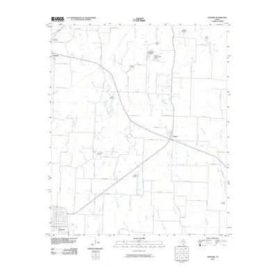
2010 Map of Leonard
USGS Topo · Published 2010About this map
Leonard anchors this Fannin County landscape at a moment when the rural character of northern Texas remains defined by a dense network of country roads and small farm-to-market routes. The terrain is marked by significant hydrological features, including the South Sulphur River in the south and Bois d'Arc Creek to the north, which carve through lowlands like Sugar Loaf Bottom. This 2010 survey reflects a region where legacy land use persists alongside modern infrastructure, evidenced by the proximity of long-standing burial grounds such as Whiterock Cemetery and Randolph Cemetery to local aviation at Grove Hill Airport.
Find a feature on this map
80 named features on this map. Tap any name to fly to it.
Don’t see what you’re looking for? This feature index may not catch every label — zoom into the map to look around manually.
Map Details
Editions of this 2010 Leonard Map
This is the sole edition of this map. No revisions or reprints were ever made.
Other maps of this area

1954 · Sherman
USGS Topo · 1:250,000

1958 · Bonham
USGS Topo · 1:62,500

1958 · Whitesright
USGS Topo · 1:62,500

1958 · Sherman
USGS Topo · 1:250,000

1960 · Pike
USGS Topo · 1:24,000

1964 · Trenton
USGS Topo · 1:24,000

1964 · Celeste
USGS Topo · 1:24,000
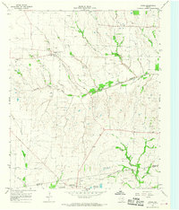
1964 · Gober
USGS Topo · 1:24,000
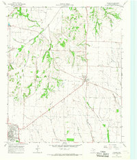
1964 · Leonard
USGS Topo · 1:24,000
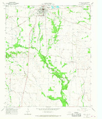
1965 · Wolfe City
USGS Topo · 1:24,000