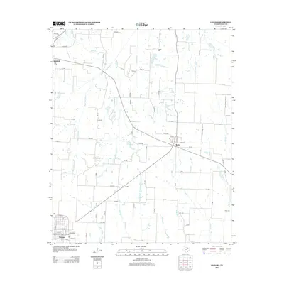
2013 Map of Leonard
USGS Topo · Published 2013About this map
Leonard anchor the southern edge of this Fannin County landscape, where the grid of rural roads meets the headwaters of the S Sulphur River. The geography is defined by a complex network of creeks, including Mustang Cr and Rainbow Cr, which carve through the agricultural terrain. To the north, the small communities of Bailey and Randolph serve as local hubs, connected by the diagonal corridor of Bus Highway 121.
Find a feature on this map
100 named features on this map. Tap any name to fly to it.
Don’t see what you’re looking for? This feature index may not catch every label — zoom into the map to look around manually.
Map Details
Editions of this 2013 Leonard Map
This is the sole edition of this map. No revisions or reprints were ever made.
Other maps of this area

1954 · Sherman
USGS Topo · 1:250,000

1958 · Bonham
USGS Topo · 1:62,500

1958 · Whitesright
USGS Topo · 1:62,500

1958 · Sherman
USGS Topo · 1:250,000

1960 · Pike
USGS Topo · 1:24,000

1964 · Trenton
USGS Topo · 1:24,000

1964 · Celeste
USGS Topo · 1:24,000
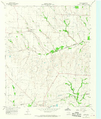
1964 · Gober
USGS Topo · 1:24,000
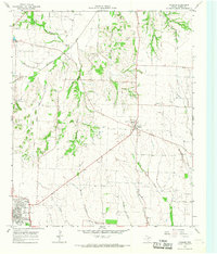
1964 · Leonard
USGS Topo · 1:24,000
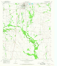
1965 · Wolfe City
USGS Topo · 1:24,000