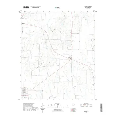
2019 Map of Leonard
USGS Topo · Published 2019About this map
Leonard serves as the primary urban center in this corner of Fannin County, showing a defined street grid that includes E Fannin St and E Bois d'Arc St. The surrounding landscape is defined by the headwaters of several significant drainage systems, most notably the S Sulphur River and Bois d'Arc Cr. These waterways create a complex network of creeks including Burr Oak Cr and Mustang Cr that carve through the agricultural terrain.
Find a feature on this map
98 named features on this map. Tap any name to fly to it.
Don’t see what you’re looking for? This feature index may not catch every label — zoom into the map to look around manually.
Map Details
Editions of this 2019 Leonard Map
This is the sole edition of this map. No revisions or reprints were ever made.
Other maps of this area

1954 · Sherman
USGS Topo · 1:250,000

1958 · Bonham
USGS Topo · 1:62,500

1958 · Whitesright
USGS Topo · 1:62,500

1958 · Sherman
USGS Topo · 1:250,000

1960 · Pike
USGS Topo · 1:24,000

1964 · Trenton
USGS Topo · 1:24,000

1964 · Celeste
USGS Topo · 1:24,000
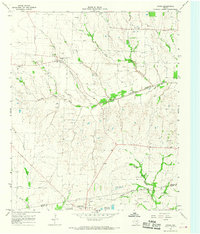
1964 · Gober
USGS Topo · 1:24,000
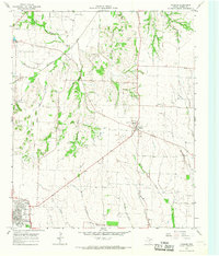
1964 · Leonard
USGS Topo · 1:24,000
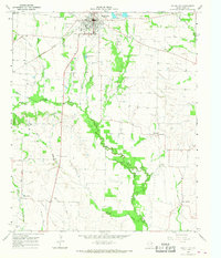
1965 · Wolfe City
USGS Topo · 1:24,000