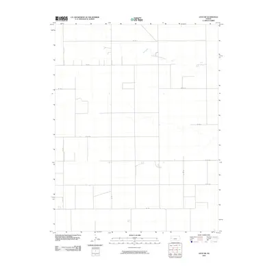
2010 Map of Leoti SW
USGS Topo · Published 2010About this map
Sand Creek meanders across the high plains of western Kansas in this early 21st-century landscape. The area is defined by a rigorous grid of section-line roads, such as Co Rd X and Co Rd 1, which partition the territory into vast agricultural tracts typical of Wichita County. This system of secondary routes, including Co Rd AA and Co Rd CC, reveals the organized spatial development of the township, where land use is dictated by the availability of water and the efficiency of the transport network. The sparse distribution of features underscores the isolation and the immense scale of the regional ranching and farming operations, with the dry bed of Sand Creek providing the primary natural break in the man-made geometry of the prairie.
Find a feature on this map
13 named features on this map. Tap any name to fly to it.
Don’t see what you’re looking for? This feature index may not catch every label — zoom into the map to look around manually.
Map Details
Editions of this 2010 Leoti SW Map
This is the sole edition of this map. No revisions or reprints were ever made.
Other maps of this area

1955 · Scott City
USGS Topo · 1:250,000

1958 · Scott City
USGS Topo · 1:250,000

1965 · Leoti 3 NW
USGS Topo · 1:24,000

1965 · Leoti 3 NE
USGS Topo · 1:24,000

1966 · Tribune 4 NE
USGS Topo · 1:24,000

1970 · Selkirk SE
USGS Topo · 1:24,000

1970 · Selkirk
USGS Topo · 1:24,000

1970 · Leoti
USGS Topo · 1:24,000

1970 · Lydia
USGS Topo · 1:24,000

1970 · Leoti NW
USGS Topo · 1:24,000