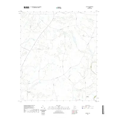
2020 Map of Leslie SE
USGS Topo · Published 2020About this map
Mossy Dell and the surrounding Lee County countryside are defined by a network of slow-moving waterways and small-scale agriculture. This 2020 landscape illustrates the intricate drainage patterns feeding into the Flint River, which forms the eastern boundary with Worth County. Notable water features like Mossy Dell Lake and The Bay Branch suggest a low-lying, wetlands-heavy environment where local road networks, such as Batts RD and Laramore RD, navigate between numerous branches and creek systems.
Find a feature on this map
35 named features on this map. Tap any name to fly to it.
Don’t see what you’re looking for? This feature index may not catch every label — zoom into the map to look around manually.
Map Details
Editions of this 2020 Leslie SE Map
This is the sole edition of this map. No revisions or reprints were ever made.
Other maps of this area

1953 · Dothan
USGS Topo · 1:250,000

1953 · Waycross
USGS Topo · 1:250,000

1954 · Dothan
USGS Topo · 1:250,000

1955 · Dothan
USGS Topo · 1:250,000

1956 · Sylvester
USGS Topo · 1:62,500

1956 · Albany
USGS Topo · 1:62,500

1956 · Leslie
USGS Topo · 1:62,500

1958 · Waycross
USGS Topo · 1:250,000
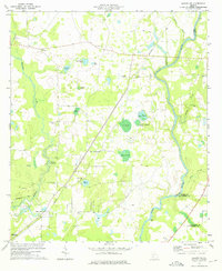
1973 · Albany NE
USGS Topo · 1:24,000
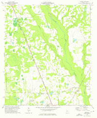
1973 · Neyami
USGS Topo · 1:24,000