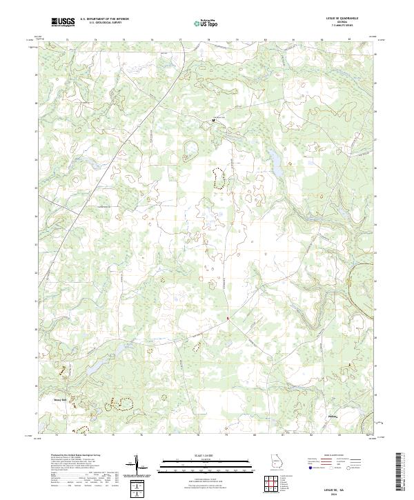
2024 Map of Leslie SE
USGS Topo · Published 2024About this map
The Flint River defines the southeastern corner of this Georgia landscape, marking the natural boundary between Lee Co and Worth Co. In the surrounding countryside, the drainage network is characterized by numerous slow-moving branches such as Hawkins Branch, Starr Branch, and The Bay Branch, which feed into larger systems across the flat agricultural terrain. The small community of Philema sits near the river in the south, while Mossy Dell and the nearby Mossy Dell Lake occupy the western portion of the quadrangle.
Find a feature on this map
32 named features on this map. Tap any name to fly to it.
Don’t see what you’re looking for? This feature index may not catch every label — zoom into the map to look around manually.
Map Details
Editions of this 2024 Leslie SE Map
This is the sole edition of this map. No revisions or reprints were ever made.
Other maps of this area

1953 · Dothan
USGS Topo · 1:250,000

1953 · Waycross
USGS Topo · 1:250,000

1954 · Dothan
USGS Topo · 1:250,000

1955 · Dothan
USGS Topo · 1:250,000

1956 · Sylvester
USGS Topo · 1:62,500

1956 · Albany
USGS Topo · 1:62,500

1956 · Leslie
USGS Topo · 1:62,500

1958 · Waycross
USGS Topo · 1:250,000
1973 · Albany NE
USGS Topo · 1:24,000
1973 · Neyami
USGS Topo · 1:24,000