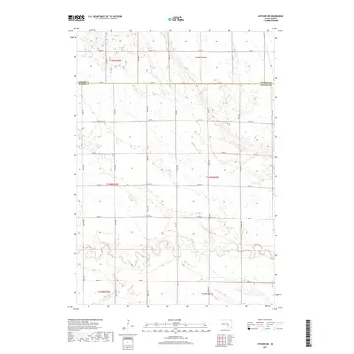
2017 Map of Letcher SW
USGS Topo · Published 2017About this map
Firesteel Creek winds through the agricultural landscape of Sanborn and Davison Counties in this 2017 topographic study. The terrain is characterized by the meandering path of Firesteel Creek and its tributary, Dry Run, which cut through the high plains of South Dakota. The map reveals a strictly regulated section line road system, including corridors like 243rd St and 400th Ave, that organizes the prairie into a geometric grid typical of the region’s land management. This survey documents the intersection of natural drainage patterns with the rigid infrastructure of the American heartland, showing how local watercourses dictate the subtle shifts in the otherwise orderly township and range divisions. The sparse distribution of named features highlights the open, rural nature of this territory on the Sanborn and Davison county line.
Find a feature on this map
25 named features on this map. Tap any name to fly to it.
Don’t see what you’re looking for? This feature index may not catch every label — zoom into the map to look around manually.
Map Details
Editions of this 2017 Letcher SW Map
This is the sole edition of this map. No revisions or reprints were ever made.
Other maps of this area

1899 · Mitchell
USGS Topo · 1:125,000

1955 · Mitchell
USGS Topo · 1:250,000

1957 · Loomis
USGS Topo · 1:24,000

1957 · Letcher NE
USGS Topo · 1:24,000

1957 · Mitchell
USGS Topo · 1:24,000

1959 · Mitchell
USGS Topo · 1:250,000
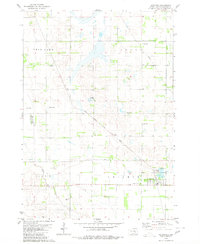
1979 · Letcher
USGS Topo · 1:24,000
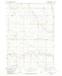
1979 · Letcher SW
USGS Topo · 1:24,000

1979 · Storla
USGS Topo · 1:24,000
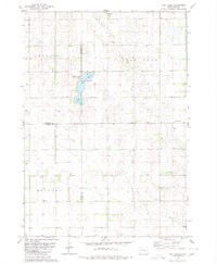
1979 · Twin Lakes
USGS Topo · 1:24,000