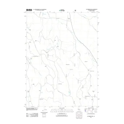
2012 Map of Letterbox Hill
USGS Topo · Published 2012About this map
Knudsen Ranch and several family-named reservoirs define the landscape of this Lassen County high-country region in the early 21st century. The terrain is a network of arid flats and volcanic hills, where water management is central to the land's utility, as seen at McClelland Reservoir, Myers Reservoir, and Packwood Reservoir. The drainage patterns of Willow Cr and the various forks of Juniper Cr carve through the plateaus, creating distinct landforms such as Windmill Flat and Packwood Flat.
Find a feature on this map
53 named features on this map. Tap any name to fly to it.
Don’t see what you’re looking for? This feature index may not catch every label — zoom into the map to look around manually.
Map Details
Editions of this 2012 Letterbox Hill Map
This is the sole edition of this map. No revisions or reprints were ever made.
Other maps of this area

1886 · Alturas
USGS Topo · 1:250,000

1886 · Honey Lake
USGS Topo · 1:250,000

1886 · Lassen Peak
USGS Topo · 1:250,000

1886 · Modoc Lava Bed
USGS Topo · 1:250,000

1891 · Honey Lake
USGS Topo · 1:250,000

1892 · Modoc Lava-Bed
USGS Topo · 1:250,000

1892 · Lassen Peak
USGS Topo · 1:250,000

1892 · Alturas
USGS Topo · 1:250,000

1893 · Honey Lake
USGS Topo · 1:250,000

1894 · Lassen Peak
USGS Topo · 1:250,000