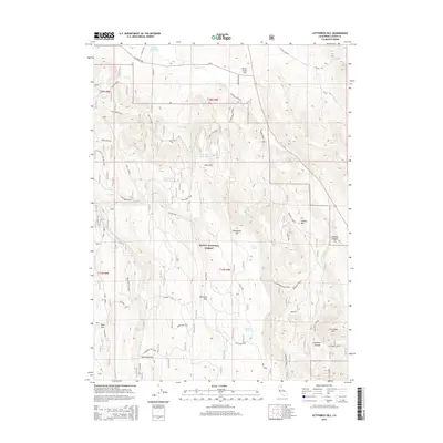
2015 Map of Letterbox Hill
USGS Topo · Published 2015About this map
Modoc National Forest dominates this high-elevation landscape in Lassen County, where a complex network of water management features reveals the region's reliance on seasonal runoff. Numerous storage sites like Myers Reservoir, Cary Reservoir, and McClelland Reservoir are distributed across the terrain, connected by named drainages such as Willow Cr and Butte Cr. The topography is defined by distinct volcanic or geologic rises, including Letterbox Hill, Lonkey Hill, and Little Gold Hill, interspersed with expansive flats like Whit Flat and Packwood Flat. This network of ranch roads and forest spurs, such as Anderson Ranch Rd and Preston Canyon Rd, facilitates access to remote springs and lakes, including Myer Spring and Snider Lake. The presence of Windmill Flat suggests historically developed livestock watering points within this managed forest environment.
Find a feature on this map
38 named features on this map. Tap any name to fly to it.
Don’t see what you’re looking for? This feature index may not catch every label — zoom into the map to look around manually.
Map Details
Editions of this 2015 Letterbox Hill Map
This is the sole edition of this map. No revisions or reprints were ever made.
Other maps of this area

1886 · Alturas
USGS Topo · 1:250,000

1886 · Honey Lake
USGS Topo · 1:250,000

1886 · Lassen Peak
USGS Topo · 1:250,000

1886 · Modoc Lava Bed
USGS Topo · 1:250,000

1891 · Honey Lake
USGS Topo · 1:250,000

1892 · Modoc Lava-Bed
USGS Topo · 1:250,000

1892 · Lassen Peak
USGS Topo · 1:250,000

1892 · Alturas
USGS Topo · 1:250,000

1893 · Honey Lake
USGS Topo · 1:250,000

1894 · Lassen Peak
USGS Topo · 1:250,000