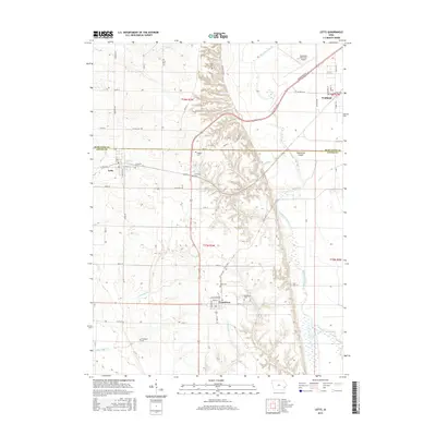
2015 Map of Letts
USGS Topo · Published 2015About this map
Muscatine Island dominates the eastern half of this landscape, a region defined by the intricate hydrology of the Muscatine Slough and the winding course of Whisky Run. This survey of the Louisa and Muscatine county line area reveals a strictly organized grid of agricultural section lines, punctuated by the town centers of Grandview and Letts. A high concentration of family and community burial sites, including the Lettsville Cem, Kiser Cem, and Wier Cem, are preserved here, often situated on the higher ground overlooking the floodplain of Klum Lake. The map details the infrastructure connecting these communities, from State Hwy 305 to the Muscatine Municipal Airport in the northeast, showing how modern transportation follows the established patterns of the river valley settlements.
Find a feature on this map
66 named features on this map. Tap any name to fly to it.
Don’t see what you’re looking for? This feature index may not catch every label — zoom into the map to look around manually.
Map Details
Editions of this 2015 Letts Map
This is the sole edition of this map. No revisions or reprints were ever made.
Other maps of this area

1946 · Wapello
USGS Topo · 1:62,500

1948 · Muscatine
USGS Topo · 1:62,500

1949 · Wapello
USGS Topo · 1:62,500

1953 · Toolesboro
USGS Topo · 1:24,000

1953 · Blanchard Island
USGS Topo · 1:24,000
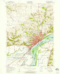
1953 · Muscatine
USGS Topo · 1:24,000

1958 · Davenport
USGS Topo · 1:250,000

1961 · Davenport
USGS Topo · 1:250,000

1962 · Davenport
USGS Topo · 1:250,000

1965 · Letts
USGS Topo · 1:24,000