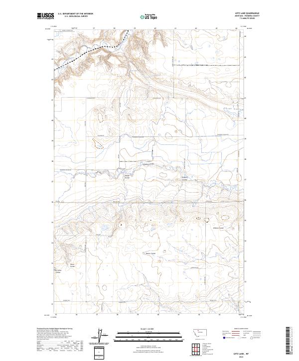
2024 Map of Letz Lake
USGS Topo · Published 2024About this map
Letz Lake and the winding course of the Dry Fork Marias River define this corner of Pondera County, where the high plains are deeply incised by a network of drainage channels. These erosional features, such as Pondera Coulee and Power Coulee, create a complex topography across an otherwise structured grid of section lines and gravel roads. The land use is clearly reflected in the infrastructure, with thoroughfares like Pondera Coulee Rd and Sollid Rd providing access to the expansive agricultural tracts between the coulees.
Find a feature on this map
34 named features on this map. Tap any name to fly to it.
Don’t see what you’re looking for? This feature index may not catch every label — zoom into the map to look around manually.
Map Details
Editions of this 2024 Letz Lake Map
This is the sole edition of this map. No revisions or reprints were ever made.
Other maps of this area

1920 · Conrad
USGS Topo · 1:125,000

1954 · Shelby
USGS Topo · 1:250,000

1958 · Shelby
USGS Topo · 1:250,000
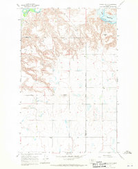
1967 · Conrad
USGS Topo · 1:24,000

1967 · Conrad Butte
USGS Topo · 1:24,000

1967 · Brady
USGS Topo · 1:24,000

1967 · Fowler Coulee SW
USGS Topo · 1:24,000
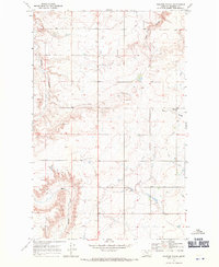
1967 · Pioneer School
USGS Topo · 1:24,000

1967 · Fowler Coulee NW
USGS Topo · 1:24,000
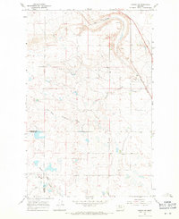
1967 · Conrad SW
USGS Topo · 1:24,000