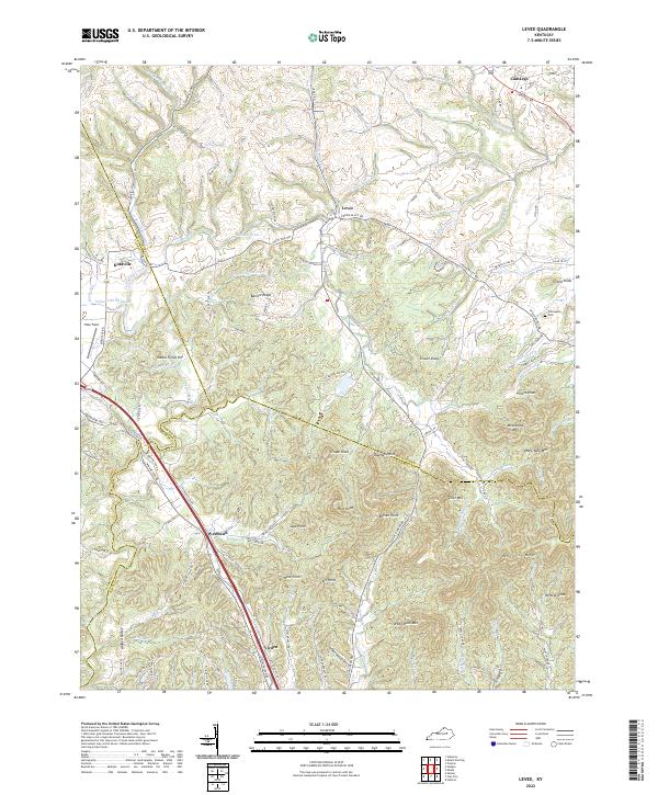
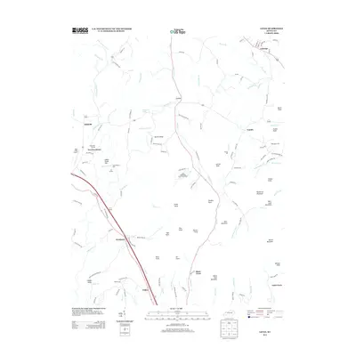
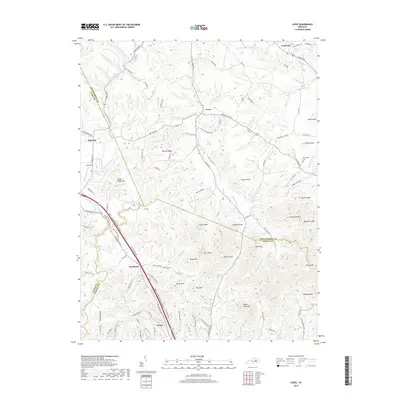
2022 Map of Levee
USGS Topo · Published 2022About this map
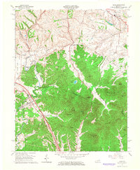
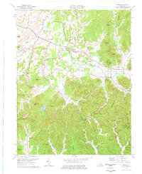
Lulbegrud Cr and its various branches, such as N Br Lulbegrud Cr and Indian Old Fields Br, define the drainage patterns of this Montgomery County landscape. This territory is characterized by a series of prominent knobs and ridges, including Pilot Knob, Gravel Knob, and White Rock Mtn, which overlook small, distributed settlements. The community of Levee sits centrally, while Camargo and Kiddville occupy the map's northern reaches. Near Westbend, the terrain transitions into complex networks of ridges like Barlow Ridge and peaks such as Potato Knob. This data shows the persistent agricultural and rural residential patterns of the area, where many roads like Winchester Rd and Skinner Branch Rd follow the natural contours of the knobs and creek valleys, reflecting a long history of navigation dictated by the local topography.
Find a feature on this map
106 named features on this map. Tap any name to fly to it.
Don’t see what you’re looking for? This feature index may not catch every label — zoom into the map to look around manually.
Map Details
Editions of this 2022 Levee Map
This is the sole edition of this map. No revisions or reprints were ever made.
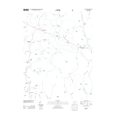
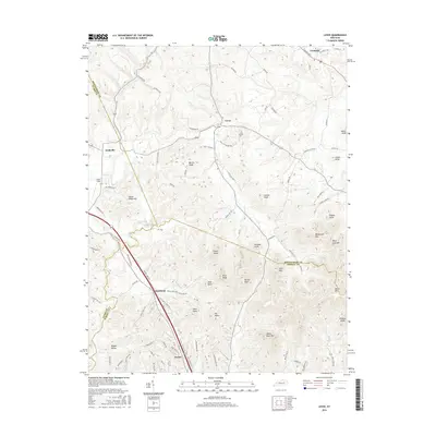
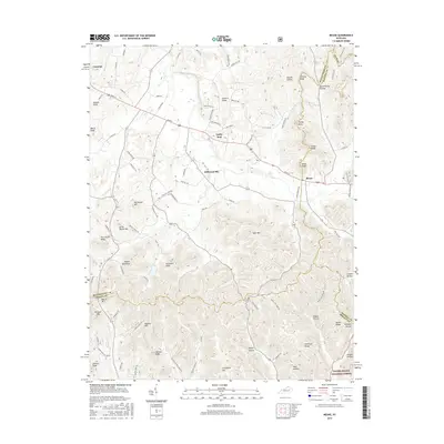
Historical Maps of Camargo Through Time
15 maps found
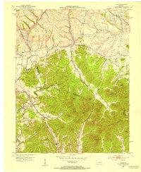
1950 Levee
Montgomery County, KY
1952 Levee
Montgomery County, KY
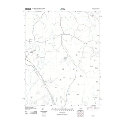
1952 Means
Montgomery County, KY
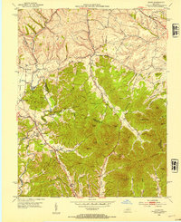
1965 Levee
Montgomery County, KY
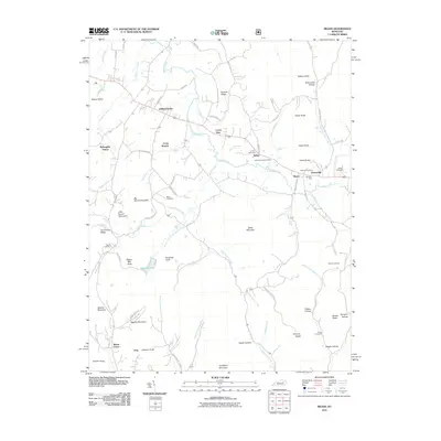
1975 Means
Montgomery County, KY
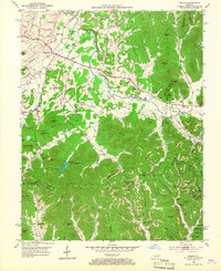
2010 Levee
Montgomery County, KY
2011 Means
Montgomery County, KY
2013 Levee
Montgomery County, KY
2013 Means
Montgomery County, KY
2016 Levee
Montgomery County, KY
2016 Means
Montgomery County, KY
2019 Levee
Montgomery County, KY
2019 Means
Montgomery County, KY
2022 Levee
Montgomery County, KY
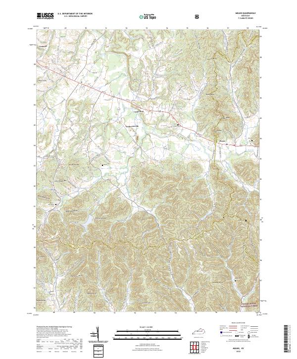
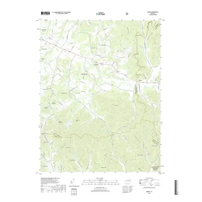
2022 Means
Montgomery County, KY