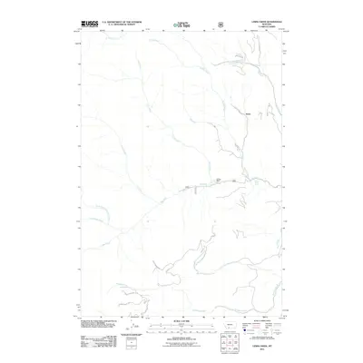
2011 Map of Lewis Creek
USGS Topo · Published 2011About this map
Ox Yoke Ranch and the small settlement of Kotke anchor this Montana landscape, where a dense network of watercourses defines the terrain south of the Gallatin Range. The drainage system is particularly intricate here, featuring the convergence of Hyalite Creek, Lewis Creek, and Big Creek. Many of these streams are further divided into specific branches such as Fisher Creek A and Little Donahue, reflecting the detailed hydraulic mapping required for land management in this region.
Find a feature on this map
23 named features on this map. Tap any name to fly to it.
Don’t see what you’re looking for? This feature index may not catch every label — zoom into the map to look around manually.
Map Details
Editions of this 2011 Lewis Creek Map
This is the sole edition of this map. No revisions or reprints were ever made.
Other maps of this area

1888 · Three Forks
USGS Topo · 1:250,000

1891 · Livingston
USGS Topo · 1:250,000

1893 · Livingston
USGS Topo · 1:250,000

1894 · Three Forks
USGS Topo · 1:250,000

1895 · Three Forks
USGS Topo · 1:250,000

1947 · Bozeman
USGS Topo · 1:250,000

1948 · Bozeman
USGS Topo · 1:250,000

1955 · Bozeman
USGS Topo · 1:250,000

1955 · Garnet Mountain
USGS Topo · 1:62,500

1955 · Fridley Peak
USGS Topo · 1:62,500