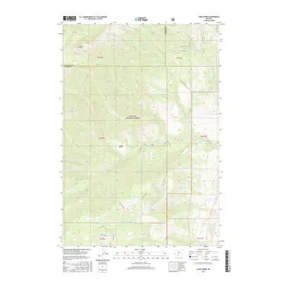
2017 Map of Lewis Creek
USGS Topo · Published 2017About this map
The Gallatin National Forest dominates this section of the Gallatin Range, where the steep mountain geography is defined by a dense network of drainages. The Gallatin Co Park Co line runs through the northern reaches, marking a high-elevation boundary near Swan Cr and Dry Cr. The landscape is characterized by its complex hydrology, with numerous named streams such as Lewis Creek, Big Creek, and the many branches of Little Donahue Creek cutting through the terrain. Human access is limited to rugged corridors like Hyalite Creek Rd and Big Creek Rd. A notable point of interest in this high country is Sunny Brook Spring, situated just east of the distinct geological shelf known as Cooper Bench. This survey provides a clear view of the wilderness management area before more recent environmental shifts, documenting the precise locations of remote watersheds including Fisher Creek A and Donahue Creek.
Find a feature on this map
34 named features on this map. Tap any name to fly to it.
Don’t see what you’re looking for? This feature index may not catch every label — zoom into the map to look around manually.
Map Details
Editions of this 2017 Lewis Creek Map
This is the sole edition of this map. No revisions or reprints were ever made.
Other maps of this area

1888 · Three Forks
USGS Topo · 1:250,000

1891 · Livingston
USGS Topo · 1:250,000

1893 · Livingston
USGS Topo · 1:250,000

1894 · Three Forks
USGS Topo · 1:250,000

1895 · Three Forks
USGS Topo · 1:250,000

1947 · Bozeman
USGS Topo · 1:250,000

1948 · Bozeman
USGS Topo · 1:250,000

1955 · Bozeman
USGS Topo · 1:250,000

1955 · Garnet Mountain
USGS Topo · 1:62,500

1955 · Fridley Peak
USGS Topo · 1:62,500