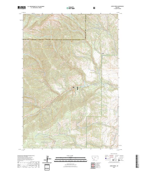
2024 Map of Lewis Creek
USGS Topo · Published 2024About this map
Gallatin National Forest dominates this mountain landscape along the border of Gallatin and Park Counties, Montana. This modern topographic study reveals a high-altitude wilderness defined by the Gallatin Range and the intricate drainage basins of Swan Creek and Cottonwood Creek. The map documents a sparse human imprint concentrated on a network of backcountry routes such as the Lewis Creek Trl, Swan Creek Trl, and the Donahue Trl, which provide access to the remote interior.
Find a feature on this map
36 named features on this map. Tap any name to fly to it.
Don’t see what you’re looking for? This feature index may not catch every label — zoom into the map to look around manually.
Map Details
Editions of this 2024 Lewis Creek Map
This is the sole edition of this map. No revisions or reprints were ever made.
Other maps of this area

1888 · Three Forks
USGS Topo · 1:250,000

1891 · Livingston
USGS Topo · 1:250,000

1893 · Livingston
USGS Topo · 1:250,000

1894 · Three Forks
USGS Topo · 1:250,000

1895 · Three Forks
USGS Topo · 1:250,000

1947 · Bozeman
USGS Topo · 1:250,000

1948 · Bozeman
USGS Topo · 1:250,000

1955 · Bozeman
USGS Topo · 1:250,000

1955 · Garnet Mountain
USGS Topo · 1:62,500

1955 · Fridley Peak
USGS Topo · 1:62,500