Loading...
Loading map...2023 Map of Lewis Run
USGS Topo · Published 2023About this map
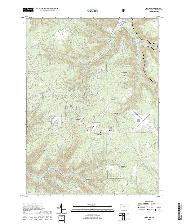
Allegheny National Forest lands dominate the western half of this McKean County landscape, where the rugged topography is cut by Kinzua-Creek and its many tributaries. The area is characterized by small, dispersed settlements like Big Shanty, Lafayette, and Guffey that follow the valley floors and established transport corridors. To the east, the Bradford Regional Airport sits on a high plateau, a distinct contrast to the deep drainages of Lewis-Run and East Branch Tunungwant Creek.
Find a feature on this map
55 named features on this map. Tap any name to fly to it.
Don’t see what you’re looking for? This feature index may not catch every label — zoom into the map to look around manually.
Map Details
Date Portrayed2023
Date Published2023
PublisherU.S. Geological Survey
Map TypeTopographic
Scale1:24000
Physical Dimensions24 x 29 inches
Editions of this 2023 Lewis Run Map
This is the sole edition of this map. No revisions or reprints were ever made.
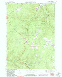
Historical Maps of Irishtown Through Time
Featured Locations
- Hamlin Township, PA
- Lafayette Township, PA
- Lewis Run, PA
- Taintor, Lafayette Township
- Mount Alton, Lafayette Township
Source Details
SourceU.S. Geological Survey
CopyrightPublic Domain