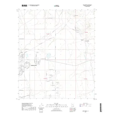
2018 Map of Lewis Springs
USGS Topo · Published 2018About this map
Sierra Vista anchors the western edge of this landscape, showing the residential expansion and suburban street grids that characterize modern development in Cochise County. This 2018 survey reveals the area's institutional footprint at the Cochise College Sierra Vista Campus and the proximity of the Fenced Mil Res Boundary. To the east, the terrain transitions into the more open, natural drainage patterns of the San Pedro River corridor. Cultural landmarks such as Lewis Springs and Brunckow Hill punctuate the arid landscape, while seasonal water features like Government Draw highlight the region's topographical drainage toward the river basin. The map captures a moment of modern growth intersecting with the desert's natural features and military-related borders.
Find a feature on this map
77 named features on this map. Tap any name to fly to it.
Don’t see what you’re looking for? This feature index may not catch every label — zoom into the map to look around manually.
Map Details
Editions of this 2018 Lewis Springs Map
This is the sole edition of this map. No revisions or reprints were ever made.
Other maps of this area

1914 · Hereford
USGS Topo · 1:125,000

1915 · Benson
USGS Topo · 1:125,000

1922 · Sunnyside
USGS Topo · 1:62,500

1932 · Stark
USGS Topo · 1:62,500

1932 · Fairbank
USGS Topo · 1:62,500

1938 · Huachuca
USGS Topo · 1:62,500

1938 · Sunnyside
USGS Topo · 1:62,500

1943 · Benson
USGS Topo · 1:125,000

1948 · Fort Huachuca NE
USGS Topo · 1:24,000

1948 · Miller Peak
USGS Topo · 1:24,000