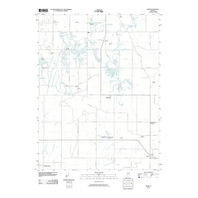
2010 Map of Lewis
USGS Topo · Published 2010About this map
Blackhawk and Lewis serve as the primary hubs of this landscape, where the southern reaches of Indiana's coal country meet managed watersheds and established rural homesteads. The terrain is marked by numerous family-named cemeteries, including Smith Cemetery, Miner Cemetery, and Jones Cemetery, which provide essential points of reference for genealogists tracing local lineage. The land is defined by its water management and recreation, featuring several man-made impoundments such as Fowler Park Lake, Wonder Lake, and Paint Mill Lake, alongside the natural courses of Splunge Creek and Turman Creek.
Find a feature on this map
60 named features on this map. Tap any name to fly to it.
Don’t see what you’re looking for? This feature index may not catch every label — zoom into the map to look around manually.
Map Details
Editions of this 2010 Lewis Map
This is the sole edition of this map. No revisions or reprints were ever made.
Other maps of this area

1908 · Clay City
USGS Topo · 1:48,000

1910 · Clay City
USGS Topo · 1:62,500

1940 · Lewis
USGS Topo · 1:24,000

1940 · Jasonville
USGS Topo · 1:24,000

1940 · Pimento
USGS Topo · 1:24,000

1941 · Seelyville
USGS Topo · 1:24,000

1941 · Terre Haute
USGS Topo · 1:24,000

1942 · Shelburn
USGS Topo · 1:24,000

1943 · Hymera
USGS Topo · 1:24,000

1948 · Terre Haute
USGS Topo · 1:24,000