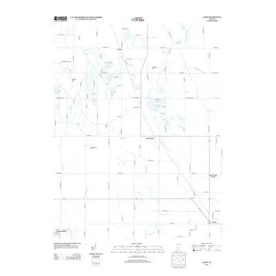
2013 Map of Lewis
USGS Topo · Published 2013About this map
The Wabash and Erie Canal cuts through the northeast corner of this Indiana landscape, a striking reminder of nineteenth-century infrastructure persisting into the modern era. Situated near the borders of Vigo and Sullivan counties, the area includes the small communities of Blackhawk, Lewis, and the rural intersection known as Brown Jug Corner. The terrain is characterized by a high concentration of water features, many of which appear to be the result of former surface mining operations, now identified as Strip Lake and Fowler Park Lake.
Find a feature on this map
108 named features on this map. Tap any name to fly to it.
Don’t see what you’re looking for? This feature index may not catch every label — zoom into the map to look around manually.
Map Details
Editions of this 2013 Lewis Map
This is the sole edition of this map. No revisions or reprints were ever made.
Other maps of this area

1908 · Clay City
USGS Topo · 1:48,000

1910 · Clay City
USGS Topo · 1:62,500

1940 · Lewis
USGS Topo · 1:24,000

1940 · Jasonville
USGS Topo · 1:24,000

1940 · Pimento
USGS Topo · 1:24,000

1941 · Seelyville
USGS Topo · 1:24,000

1941 · Terre Haute
USGS Topo · 1:24,000

1942 · Shelburn
USGS Topo · 1:24,000

1943 · Hymera
USGS Topo · 1:24,000

1948 · Terre Haute
USGS Topo · 1:24,000