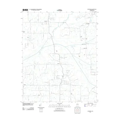
2012 Map of Lewisburg
USGS Topo · Published 2012About this map
Ingrams Mill and Cockrum anchor this portion of the North Mississippi landscape, where the headwaters and tributaries of the Coldwater River define the local geography. The map reveals a high density of small family burial grounds and community churchyards, such as the Drain Family Cem, Mills Family Cem, and Whites Chapel Cem, which offer significant value for genealogical research in DeSoto County.
Find a feature on this map
103 named features on this map. Tap any name to fly to it.
Don’t see what you’re looking for? This feature index may not catch every label — zoom into the map to look around manually.
Map Details
Editions of this 2012 Lewisburg Map
This is the sole edition of this map. No revisions or reprints were ever made.
Other maps of this area

1944 · Senatobia
USGS Topo · 1:62,500

1944 · Hernando
USGS Topo · 1:62,500

1944 · Tyro
USGS Topo · 1:62,500

1948 · Byhalia
USGS Topo · 1:62,500

1956 · Tupelo
USGS Topo · 1:250,000

1958 · Tupelo
USGS Topo · 1:250,000
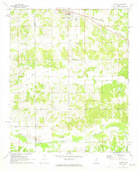
1971 · Byhalia
USGS Topo · 1:24,000

1971 · Wyatte
USGS Topo · 1:24,000
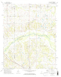
1971 · Byhalia NW
USGS Topo · 1:24,000
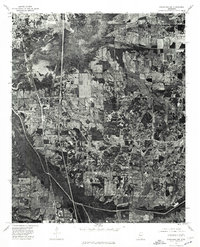
1975 · Senatobia NW
USGS Topo · 1:24,000