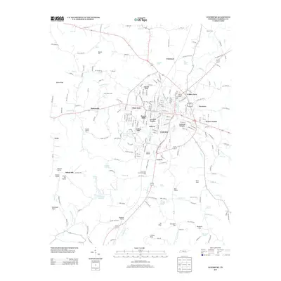
2013 Map of Lewisburg
USGS Topo · Published 2013About this map
Big Rock Creek and its many tributaries carve through the central Tennessee landscape, anchoring a series of residential developments including Lincoln Park, White Acres, and Hickory Heights. The town's agricultural and industrial foundations are visible through sites like the United State Experimental Dairy Farm and the Cedar Ridge Landfill. Local history is preserved in the names of natural features such as Old Distillery Spring, Andrews Spring, and the Old Marshall Academy Spring south of town.
Find a feature on this map
215 named features on this map. Tap any name to fly to it.
Don’t see what you’re looking for? This feature index may not catch every label — zoom into the map to look around manually.
Map Details
Editions of this 2013 Lewisburg Map
This is the sole edition of this map. No revisions or reprints were ever made.
Other maps of this area
1936 · Farmington
USGS Topo · 1:24,000
1936 · Belfast
USGS Topo · 1:24,000
1936 · Cornersville
USGS Topo · 1:24,000
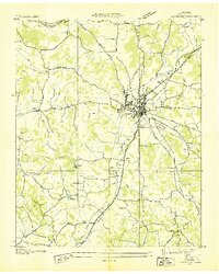
1936 · Lewisburg
USGS Topo · 1:24,000
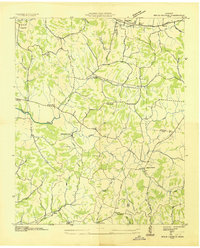
1936 · Brick Church
USGS Topo · 1:24,000
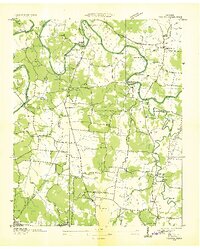
1936 · Verona
USGS Topo · 1:24,000
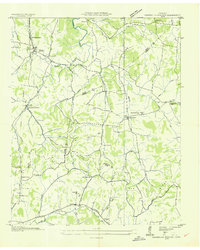
1936 · Campbells Station
USGS Topo · 1:24,000
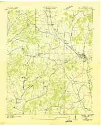
1936 · Petersburg
USGS Topo · 1:24,000
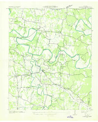
1936 · Glendale
USGS Topo · 1:24,000
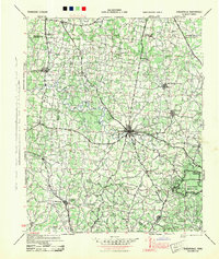
1944 · Shelbyville
USGS Topo · 1:100,000